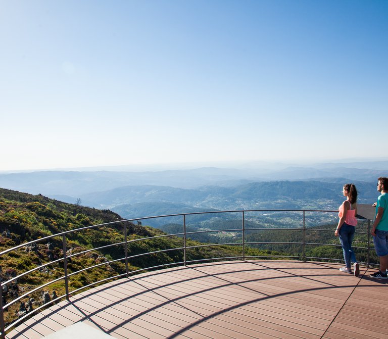
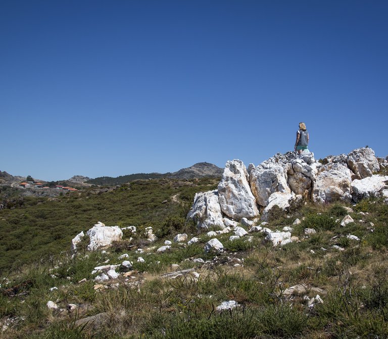
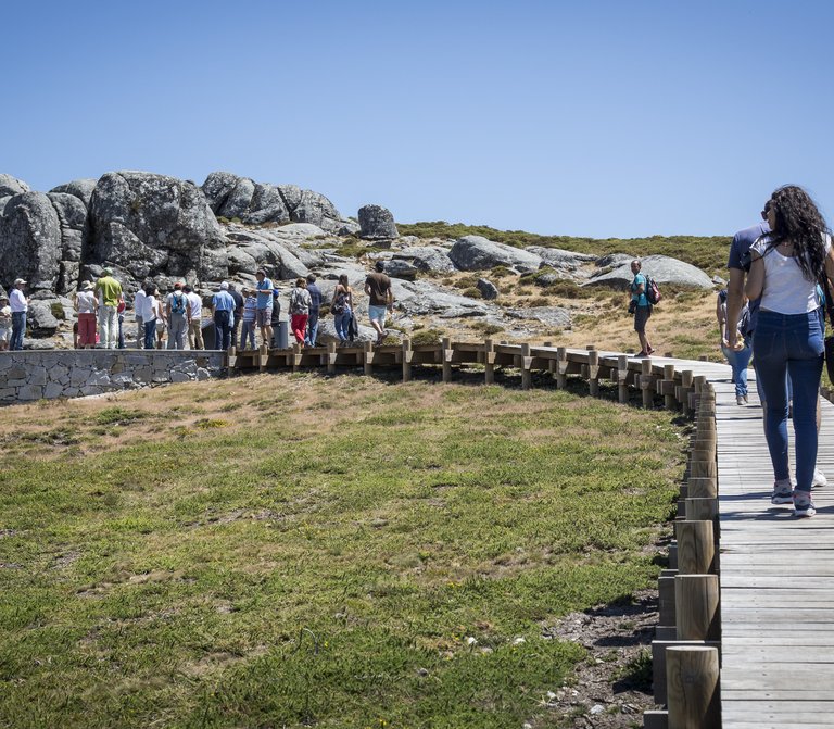
Serlei Gnamas


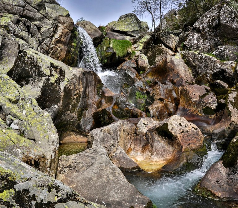
They function as natural drinkers for the wildlife

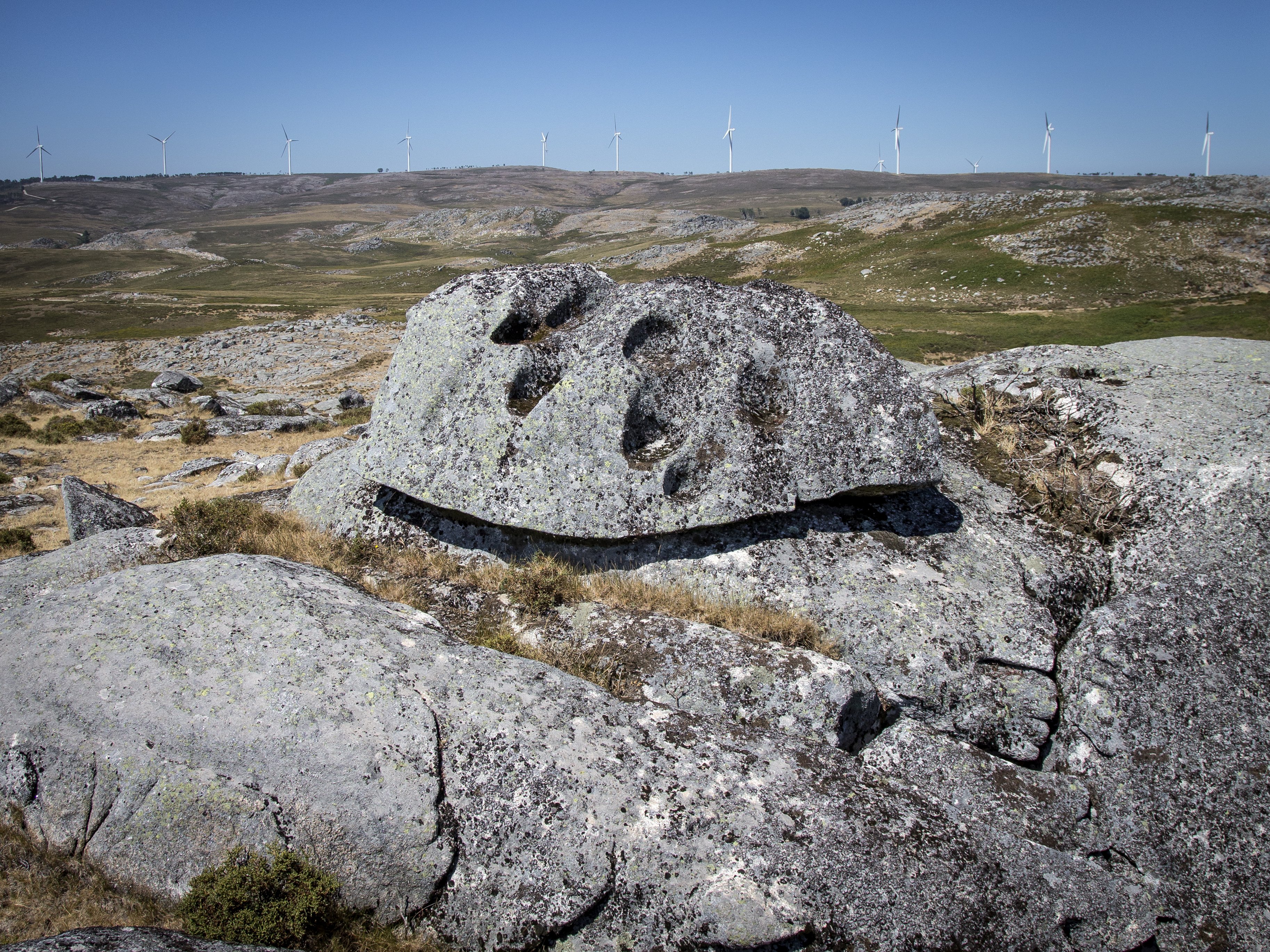
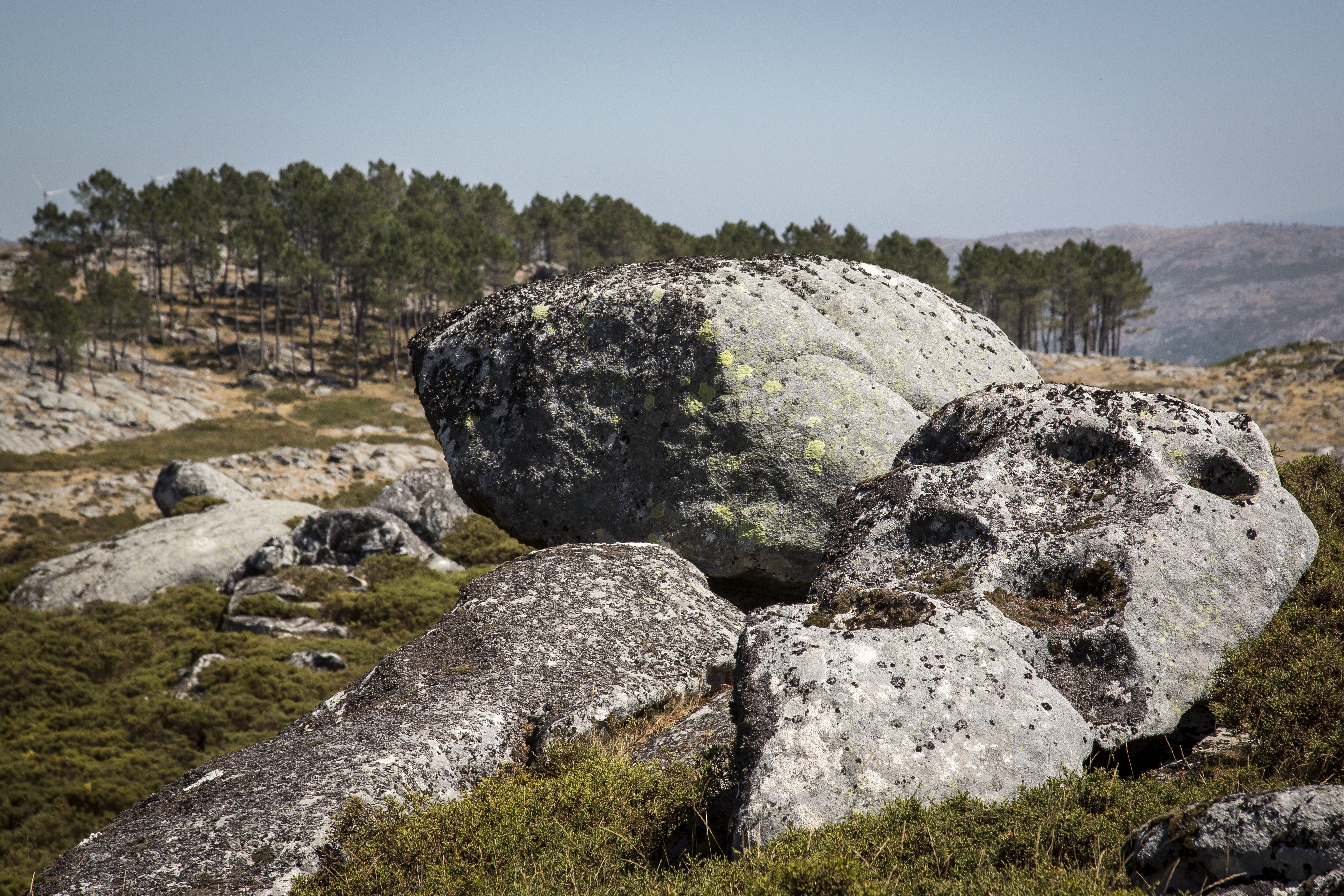
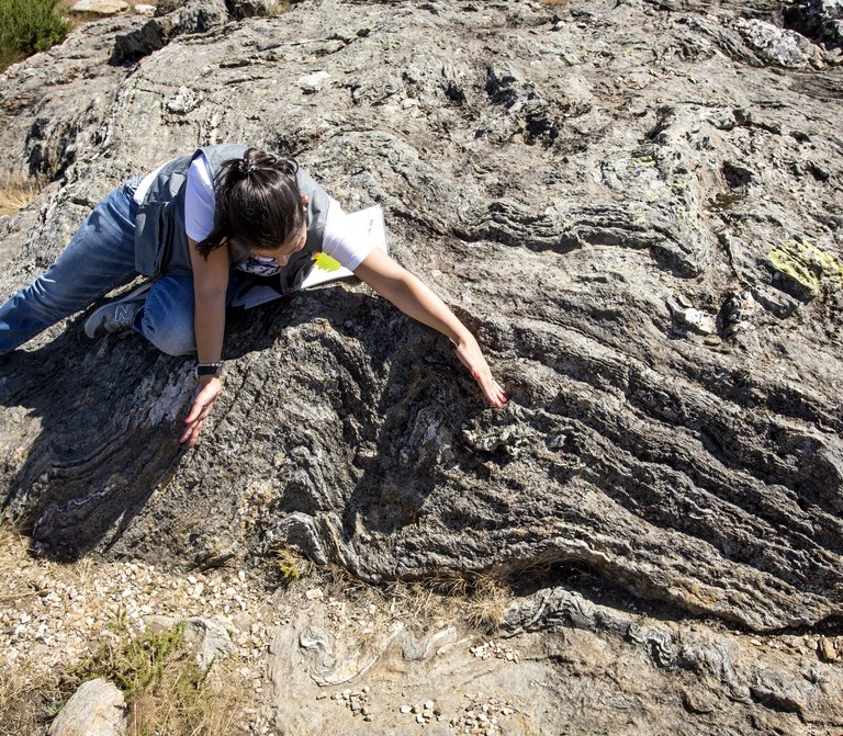
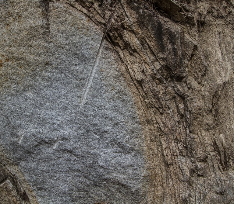
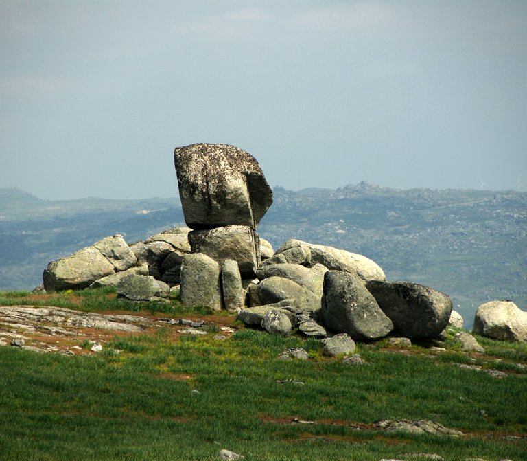
In the highest top of the granite residual relieves of the Freita Mountain there are several alveolar forms in its surface, called pits or gnamas. The Pias do Serlei geosite is situated over an area where there are many granite blocks, some of them with interesting shapes, presenting several pits. It is probably the Freita mountain’s region where we can find the biggest number of pits, with different degrees of development concentrated in one area.

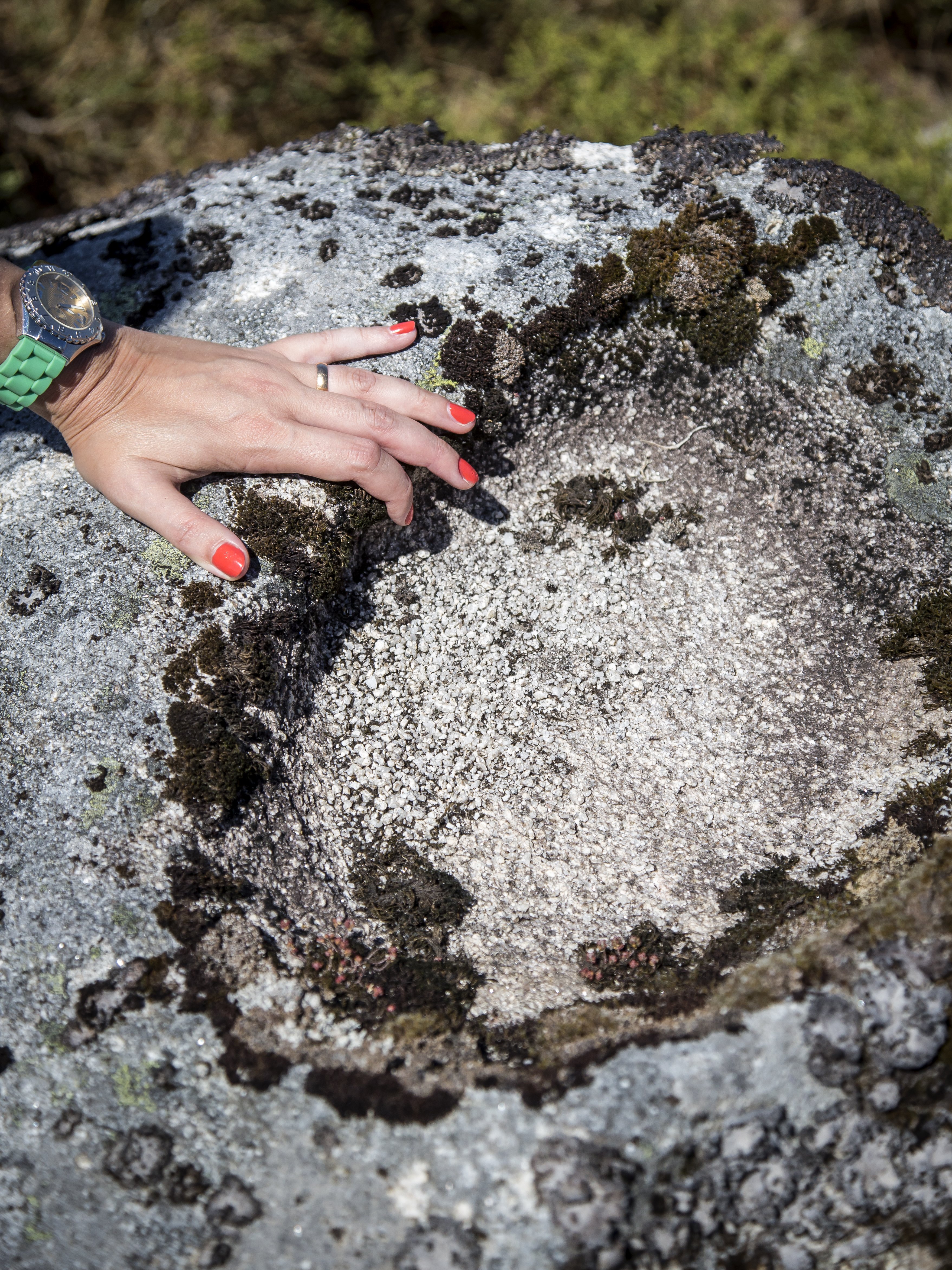
Pits are small sub-circular or elliptical depressions that can, however, present more complex shapes due to the coalescence of individual pits. They have a variable diameter, of about 30 cm and 1 m, in the latter case when the coalescence occurs.

The genesis and evolution of these granite microforms suggest a multiphase origin. Initially they have developed under the regolith, with clear reflection of the irregular penetration of the alteration front, which originated an entire set of irregularities in the rocky surface. After the exhumation of this surface, the pits have developed along these irregularities, which are preferential places for the reception and accumulation of water. The water is the essential factor for the evolution of these geoforms, as it provides reactions to mineral hydrolysis, hydration and dissolution, causing a differential weathering in the alteration front, as well as the growth and differentiation of the pits after its subaerial exposure. In the Pias do Serlei geosite, there are several granite blocks with multiple pits with different levels of development, allowing the analysis by steps of evolution.

Useful information

Serlei, União de Freguesias de Albergaria da Serra e Cabreiros
1044 m
40850.0 | -8250.0

Other geosites

_MG_9935.jpg
1

Panorâmica do Detrelo da Malhada

Explore
Côto do Boi
2

Côto do Boi

Explore
S. Pedro Velho
3

S. Pedro Velho

Explore
Marmitas de gigante
4

Marmitas de Gigante do Caima

Explore
Contacto Litológico da Mizarela
5

Contacto Litológico da Mizarela

Explore
Frecha da Mizarela
6

Frecha da Mizarela

Explore
_MG_9717.jpg
7

Pedras Parideiras

Explore
Dobras da Castanheira
8

Campo de dobras da Castanheira

Explore
_MGL0623.jpg
9

Filão de Quartzo de Cabaços

Explore
Torre Meteorológica 8.jpg
10

Panorâmica da Costa da Castanheira

Explore
2600.jpg
11

Pedras Boroas do Junqueiro

Explore
Pedras Cebola 4.jpg
13

Quartzodiorito de Espinho (Pedras Cebola)

Explore
Viveiros Granja 4.jpg
14

Bolas Quartzodioríticas dos Viveiros da Granja (Pedras Cebola)

Explore
DSC06279.JPG
15

Minas da Pena Amarela

Explore
4.jpg
16

Minas de Rio de Frades

Explore
123.jpg
17

Icnofósseis de Mourinha

Explore
128.jpg
18

Livraria do Paiva

Explore
Conheiros de Janarde
19

Conheiros de Janarde

Explore
78.jpg
20

Meandros do Paiva

Explore
Icnofósseis da área de Meitriz
21

Icnofósseis de Meitriz

Explore
36.jpg
22

Minas de Regoufe

Explore
_MG_8381.jpg
23

Portal do Inferno e Garra

Explore
_MG_8240.jpg
24

Panorâmica da Senhora da Mó

Explore
PO-01811_p106e107.jpg
25

Coleção de Fósseis do Centro de Interpretação Geológica de Canelas

Explore
IMG_2616.jpg
26

Glaciação ordovícica

Explore
IMG_2581.jpg
27

Afloramento do Silúrico inferior

Explore
IMG_2653.jpg
28

Conglomerado do Carbónico

Explore
96.jpg
29

Gralheira d'Água

Explore
Praia fluvial do Vau
30

Vau

Explore
IMG_5537.jpg
31

Gola do Salto

Explore
Aspectos geotectónicos de Espiunca
32

Falha da Espiunca

Explore
Icnofósseis da área de Vila Cova
33

Icnofósseis de Vila Cova

Explore
Icnofósseis da área de Vilarinho
34

Icnofósseis de Vilarinho

Explore
arouca_0206-27-2.jpg
35

Cascata das Aguieiras

Explore
2.jpg
36

Garganta do Paiva

Explore
15.jpg
37

Icnofósseis de Cabanas Longas

Explore
pag122e123_1_Avelino.jpg
38

Mira Paiva

Explore
Marco geodésico da Pedra Posta
39

Pedra Posta

Explore
PedraMa2.jpg
40

Pedra Má

Explore
Panorâmica da marco geodésico de Sobreiros
41

Panorâmica de Sobreiros

Explore