S. Pedro Velho view point


To infinity

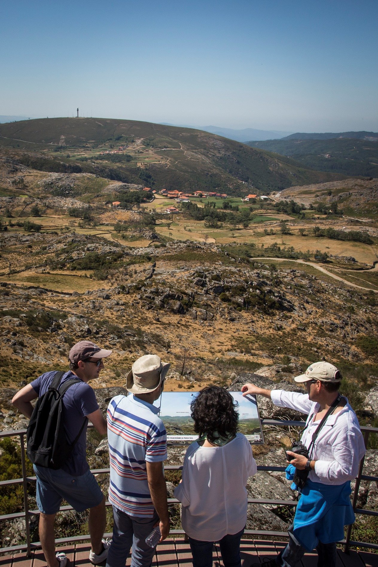
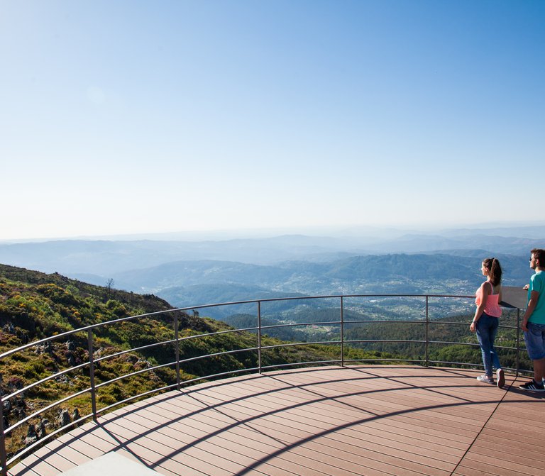
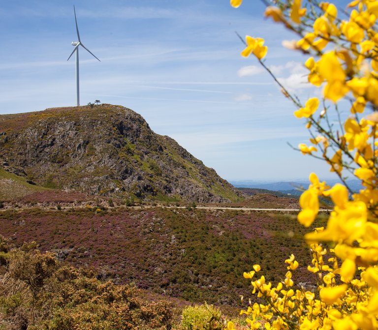
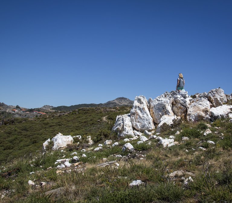
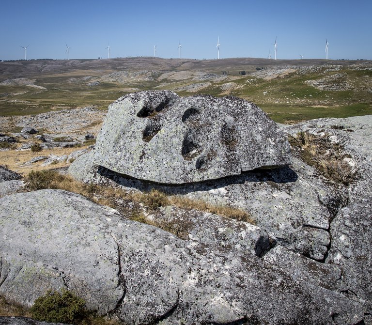
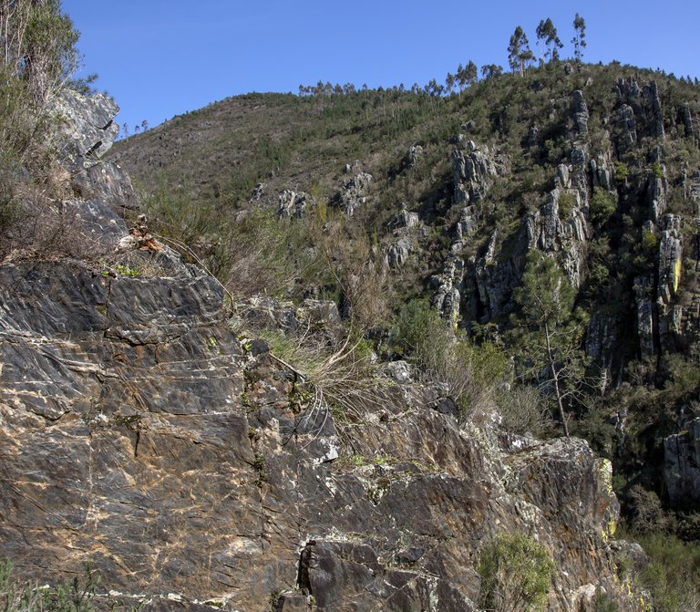
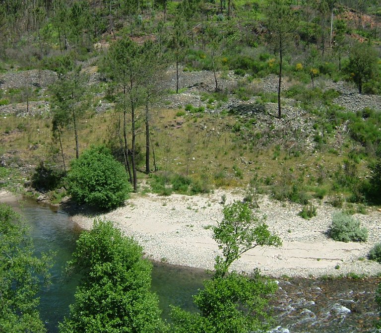
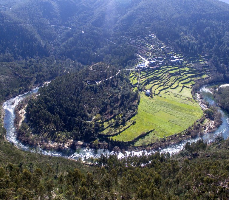
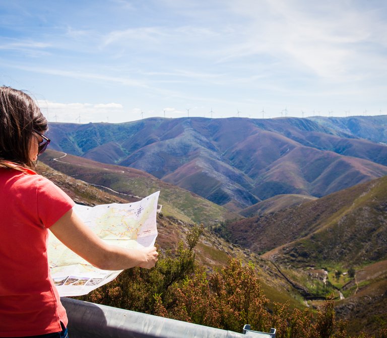
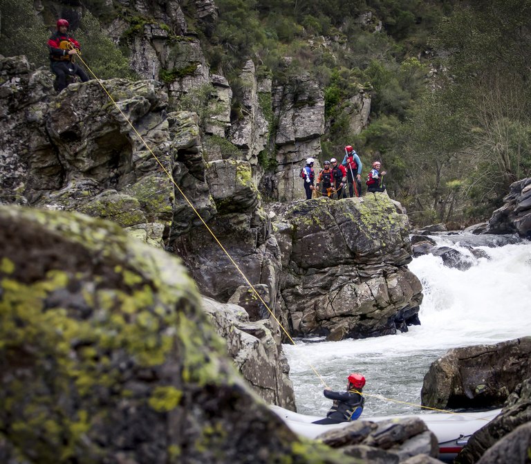
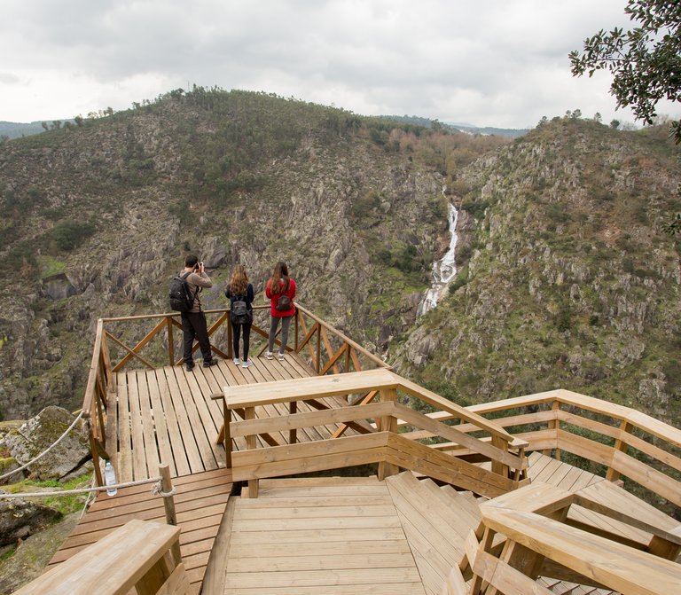
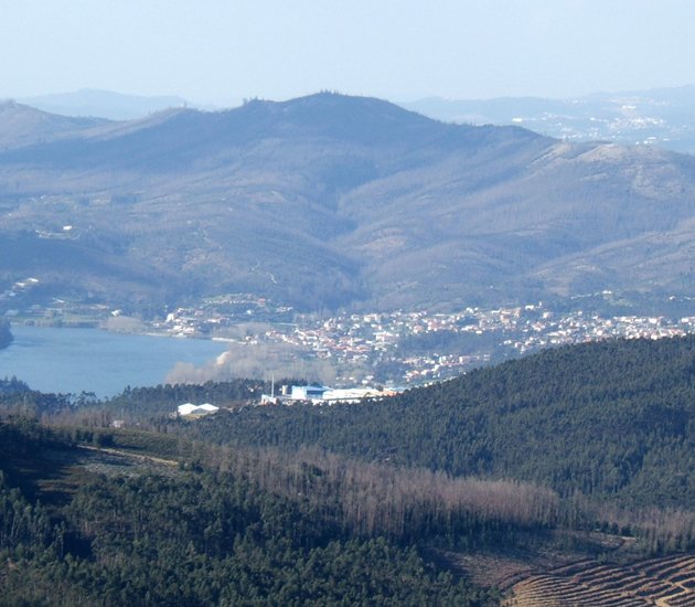
The landscape we can observe from here is impressive. A look to the north allow you to observe the imposing Arouca valley, the Gamarão mountains, the Paiva valley, the Montemuro Mountain, the Douro valley and other mountains, such the Valongo and Gerês Mountains. As you turn your head to south, you can observe the Vouga valley, the Caramulo valley, the Mondego valley and the Estrela Mountain. And when you think you have seen everything, there’s still the sea flowing westwards, going from the Aveiro lagoon to the coastal zone of Oporto. This view is unforgettable. 

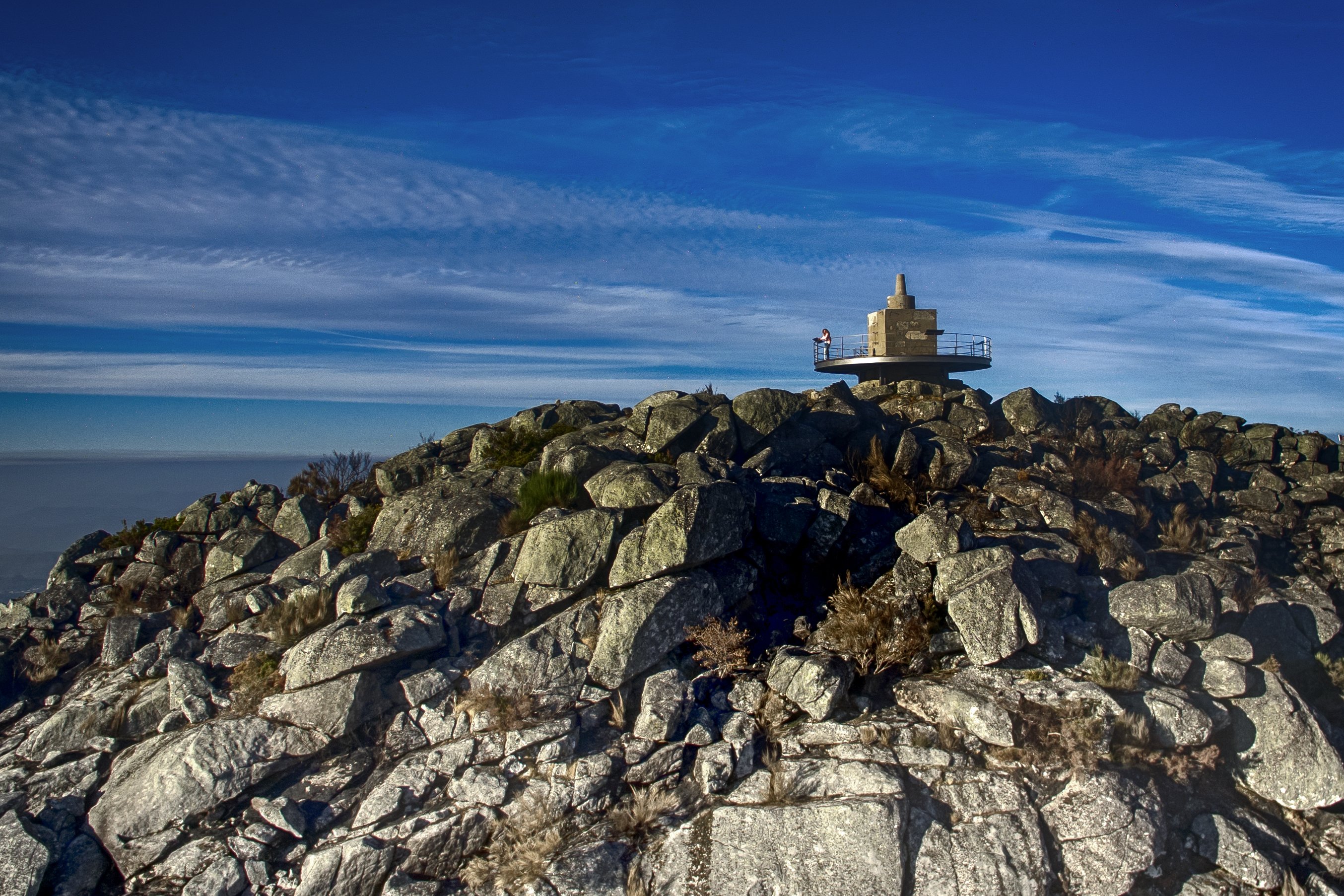
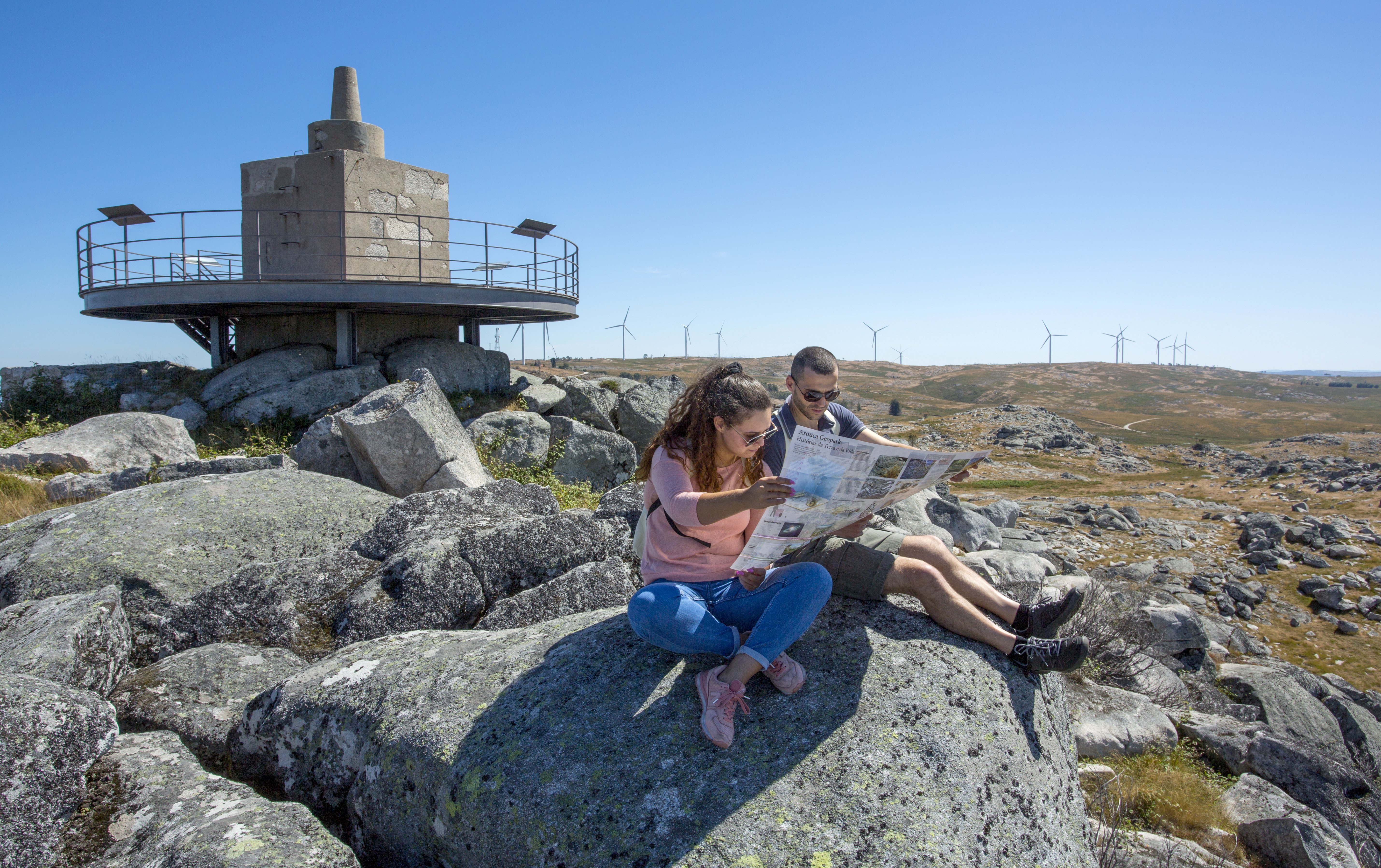
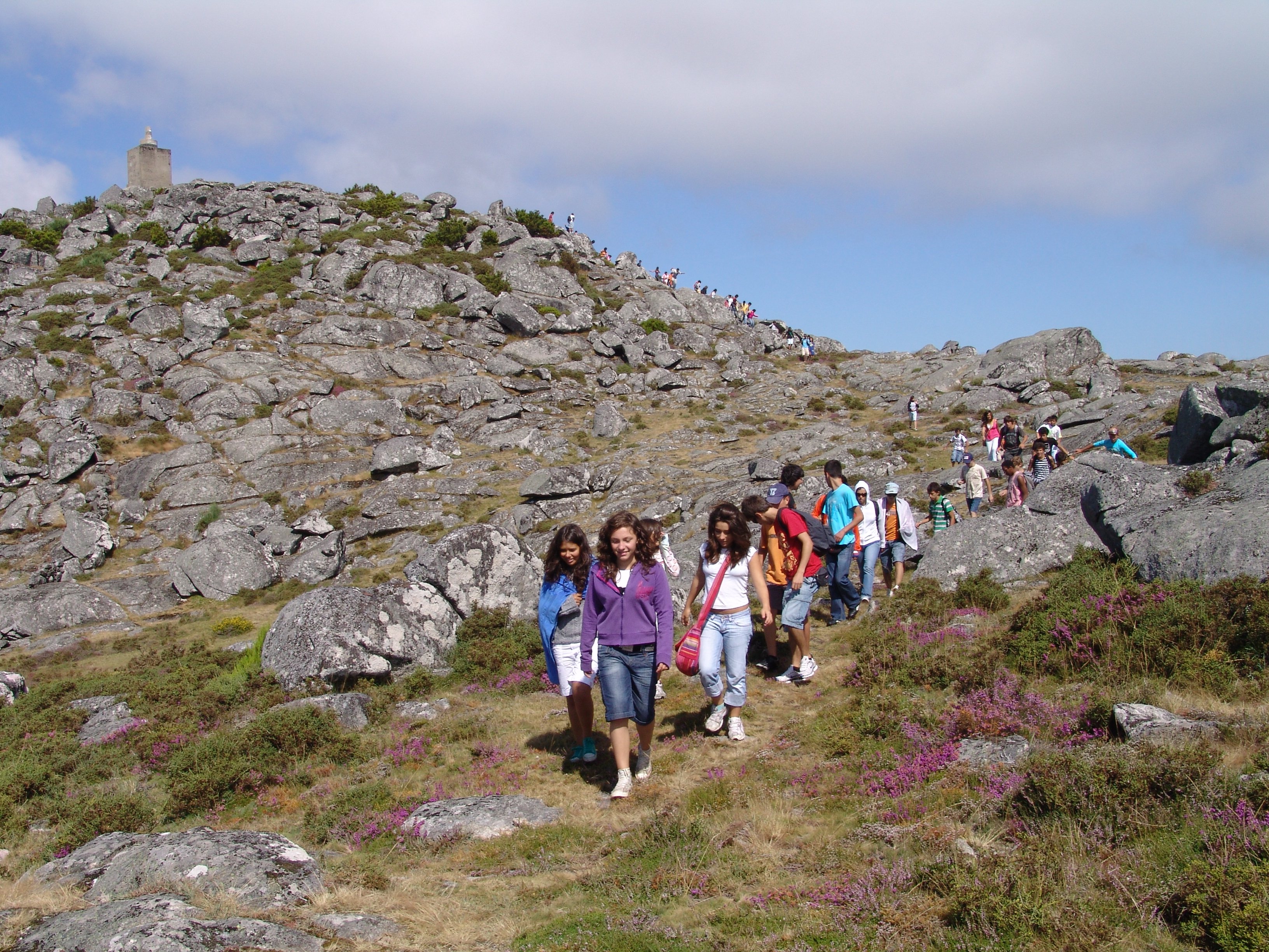
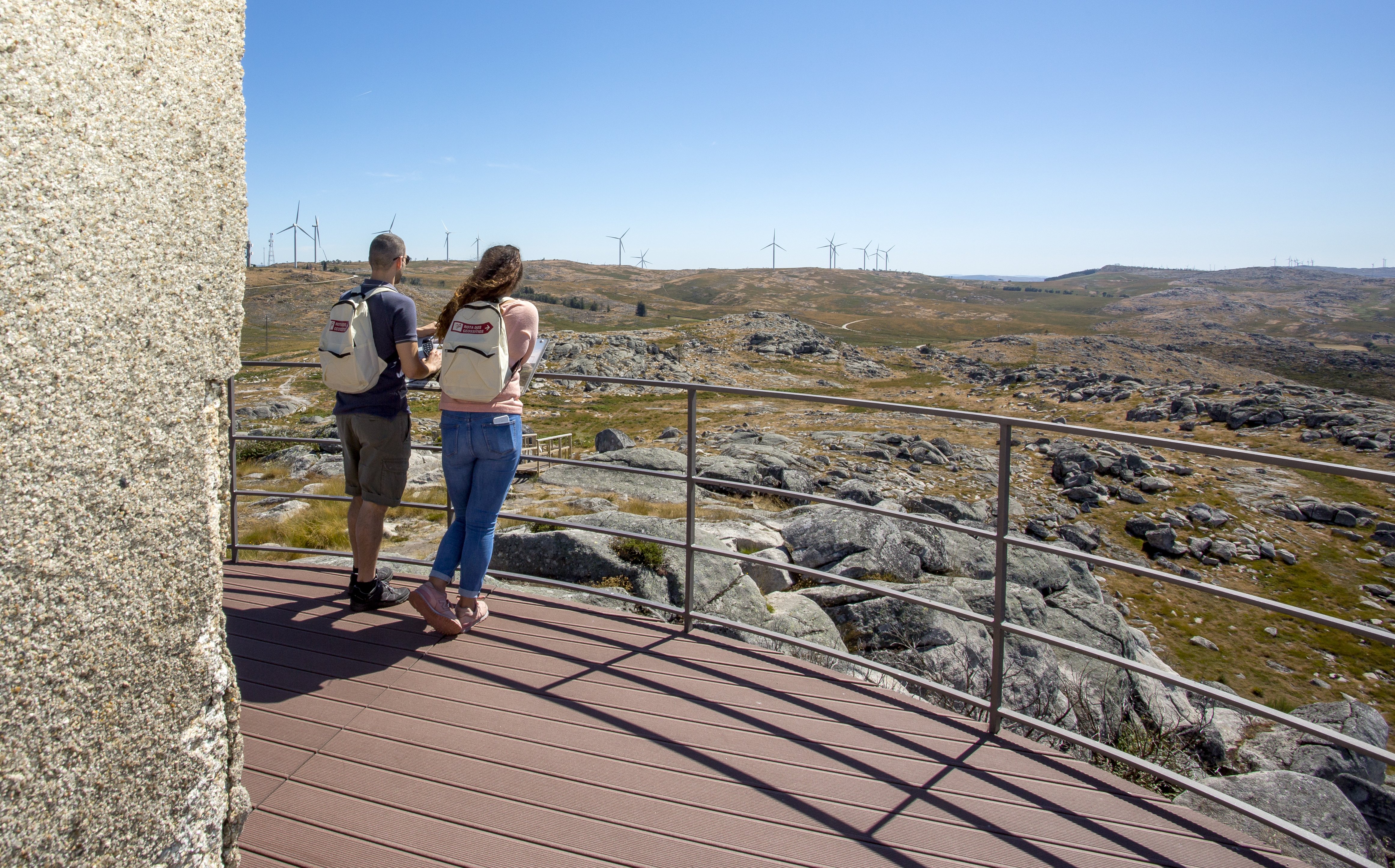
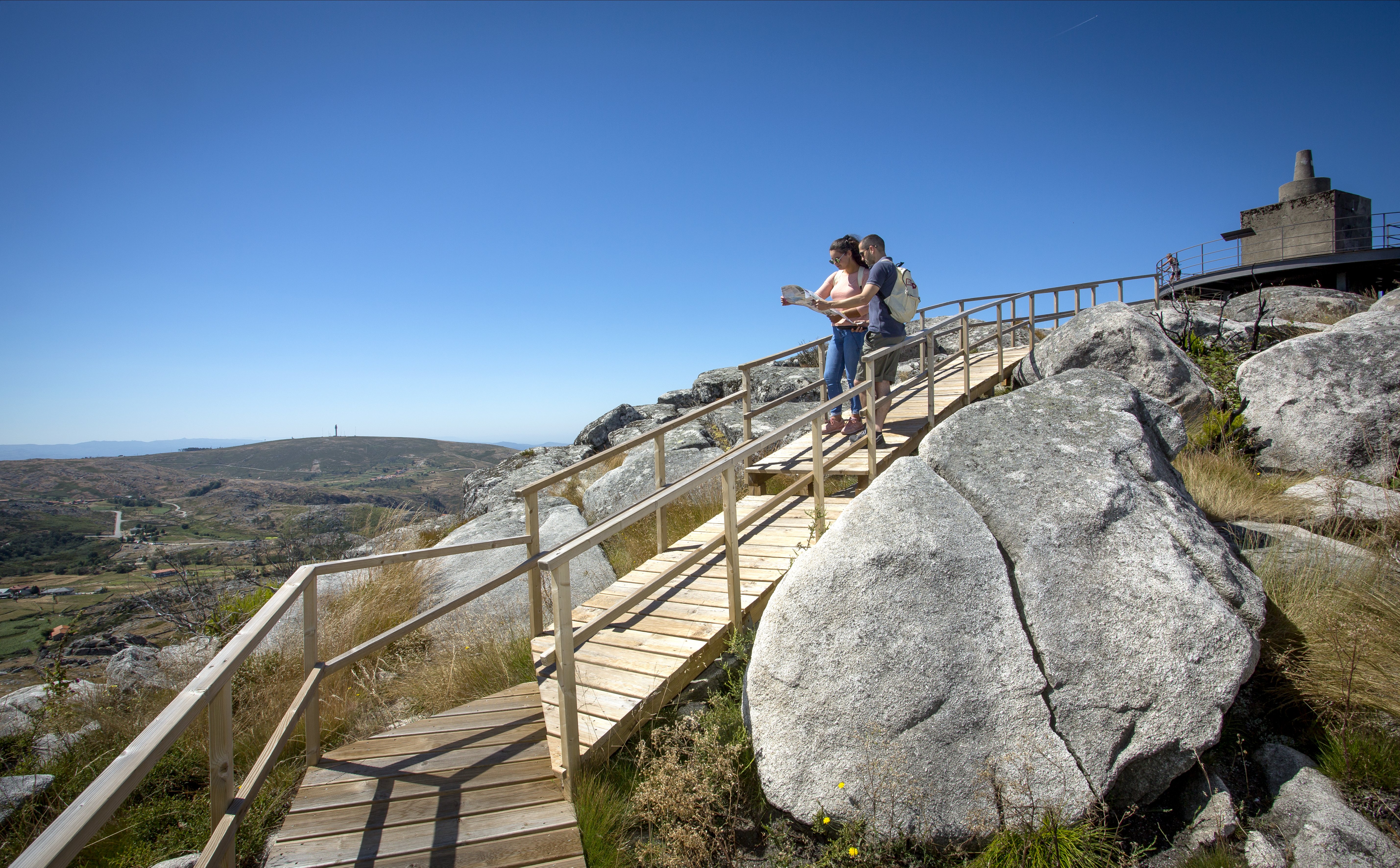
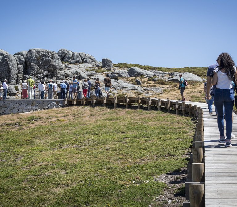
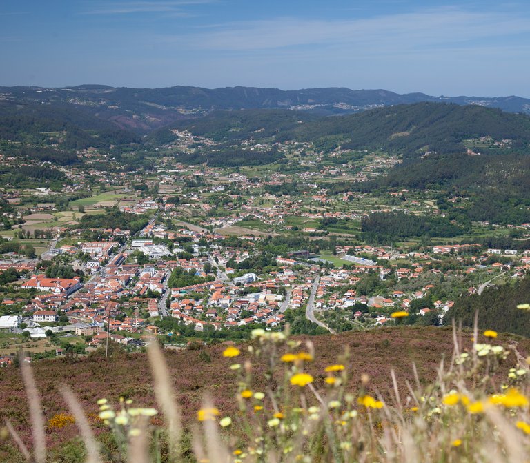
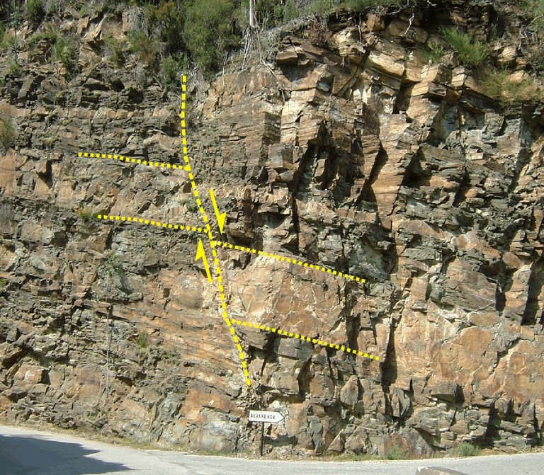
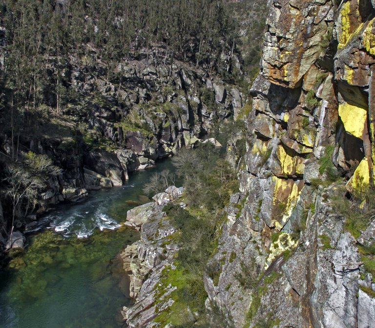
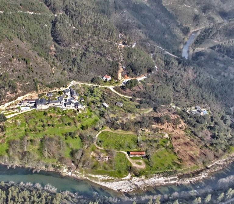
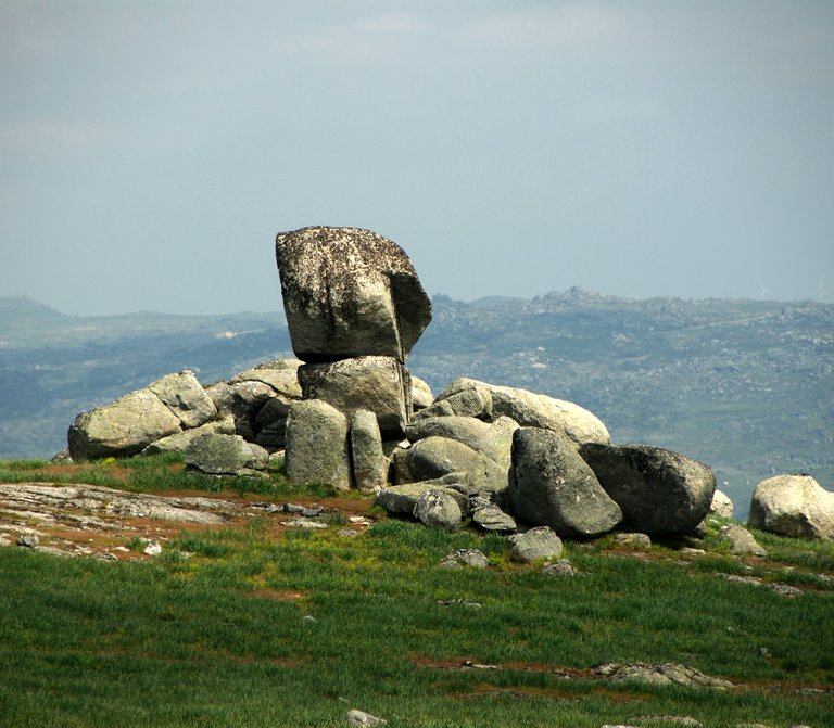
In S. Pedro Velho, you’ll find a first-order triangulation station, integrated in the National Geodetic Network, dated from 1955. According to the military mapping, this landmark defines an altitude of 1077 meters, one of the highest points of the Freita Mountain. In fact, this high position is due to the fact that it is located over a residual granite relief of the Freita Mountain, a hard rock resistant to the erosion caused by the agents of external geodynamics that occur here. From this granite geoform, called by the students of geomorphology as rocky dome, it is possible to observe a 360 degree panoramic over the planed surface of the Freita Mountain, as well as over big geomorphological units that surround it and extend to the north and center of mainland Portugal. In the planed surface of the mountain, there are numerous traditional villages surrounding the landscape of the plateau (Merujal, Albergaria da Serra, Mizarela, Cabaços e Castanheira), the Senhora da Laje sanctuary, the multiple water lines that join together to form the Caima river, the Serra da Freita Wind Farm, the remaining geosites integrated in this route and other places of natural and cultural interest, identified in the present interpretative panels of the landscape.

Useful information

S. Pedro Velho - União de Freguesias de Albergaria da Serra e Cabreiros
1077 metros
40.875167 | -8.280722

Other geosites

_MG_9935.jpg
1

Panorâmica do Detrelo da Malhada

Explore
Côto do Boi
2

Côto do Boi

Explore
Marmitas de gigante
4

Marmitas de Gigante do Caima

Explore
Contacto Litológico da Mizarela
5

Contacto Litológico da Mizarela

Explore
Frecha da Mizarela
6

Frecha da Mizarela

Explore
_MG_9717.jpg
7

Pedras Parideiras

Explore
Dobras da Castanheira
8

Campo de dobras da Castanheira

Explore
_MGL0623.jpg
9

Filão de Quartzo de Cabaços

Explore
Torre Meteorológica 8.jpg
10

Panorâmica da Costa da Castanheira

Explore
2600.jpg
11

Pedras Boroas do Junqueiro

Explore
_MGL0754.jpg
12

Pias do Serlei

Explore
Pedras Cebola 4.jpg
13

Quartzodiorito de Espinho (Pedras Cebola)

Explore
Viveiros Granja 4.jpg
14

Bolas Quartzodioríticas dos Viveiros da Granja (Pedras Cebola)

Explore
DSC06279.JPG
15

Minas da Pena Amarela

Explore
4.jpg
16

Minas de Rio de Frades

Explore
123.jpg
17

Icnofósseis de Mourinha

Explore
128.jpg
18

Livraria do Paiva

Explore
Conheiros de Janarde
19

Conheiros de Janarde

Explore
78.jpg
20

Meandros do Paiva

Explore
Icnofósseis da área de Meitriz
21

Icnofósseis de Meitriz

Explore
36.jpg
22

Minas de Regoufe

Explore
_MG_8381.jpg
23

Portal do Inferno e Garra

Explore
_MG_8240.jpg
24

Panorâmica da Senhora da Mó

Explore
PO-01811_p106e107.jpg
25

Coleção de Fósseis do Centro de Interpretação Geológica de Canelas

Explore
IMG_2616.jpg
26

Glaciação ordovícica

Explore
IMG_2581.jpg
27

Afloramento do Silúrico inferior

Explore
IMG_2653.jpg
28

Conglomerado do Carbónico

Explore
96.jpg
29

Gralheira d'Água

Explore
Praia fluvial do Vau
30

Vau

Explore
IMG_5537.jpg
31

Gola do Salto

Explore
Aspectos geotectónicos de Espiunca
32

Falha da Espiunca

Explore
Icnofósseis da área de Vila Cova
33

Icnofósseis de Vila Cova

Explore
Icnofósseis da área de Vilarinho
34

Icnofósseis de Vilarinho

Explore
arouca_0206-27-2.jpg
35

Cascata das Aguieiras

Explore
2.jpg
36

Garganta do Paiva

Explore
15.jpg
37

Icnofósseis de Cabanas Longas

Explore
pag122e123_1_Avelino.jpg
38

Mira Paiva

Explore
Marco geodésico da Pedra Posta
39

Pedra Posta

Explore
PedraMa2.jpg
40

Pedra Má

Explore
Panorâmica da marco geodésico de Sobreiros
41

Panorâmica de Sobreiros

Explore