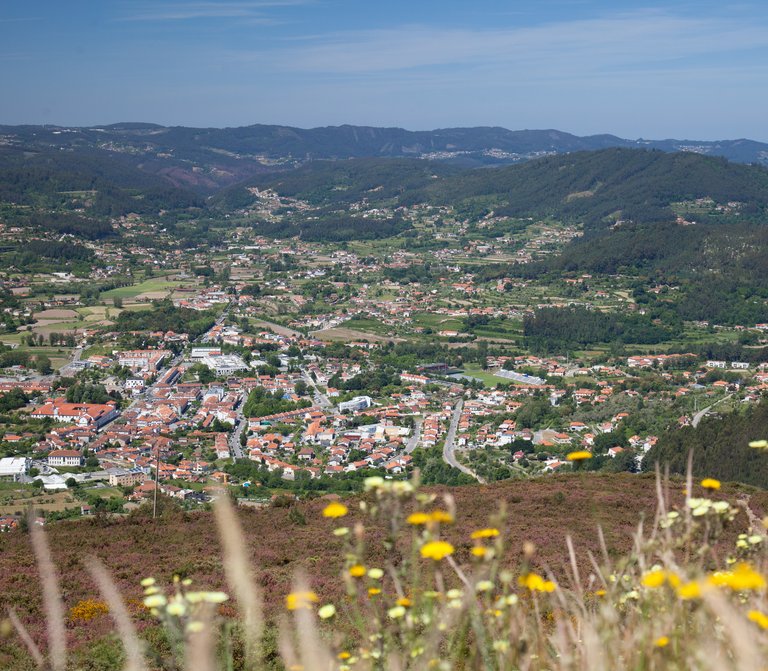
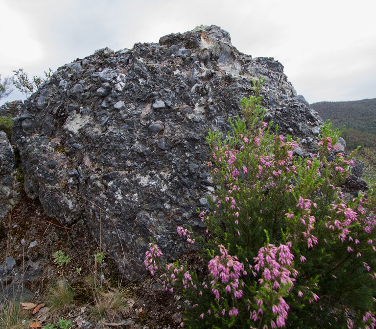
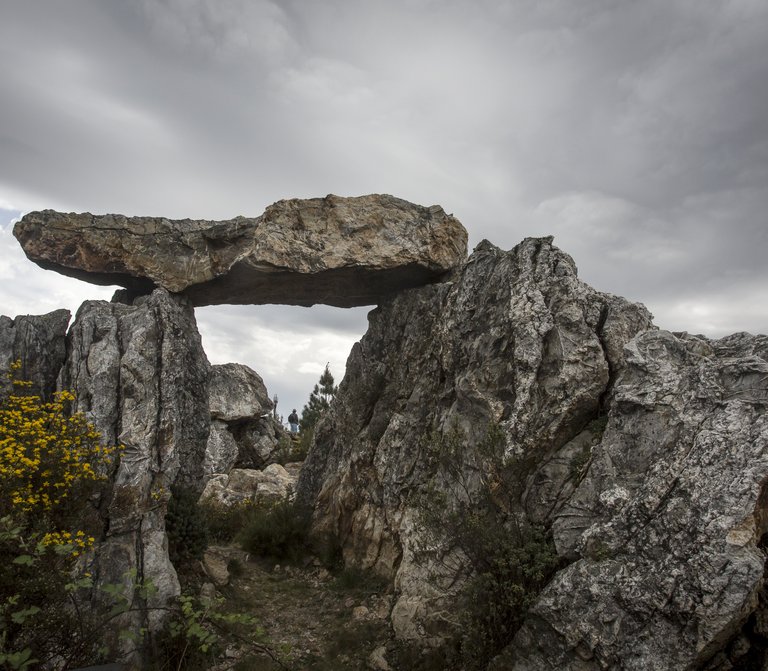
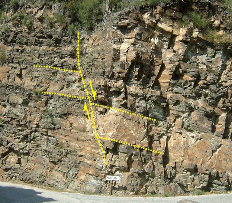
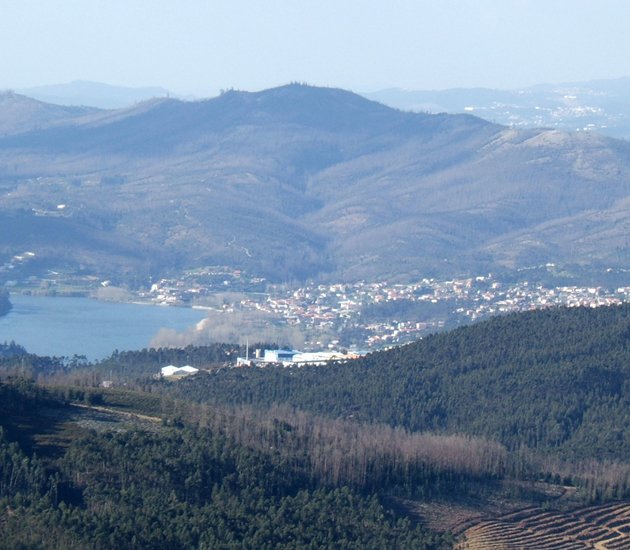
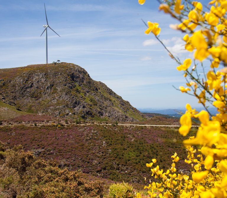
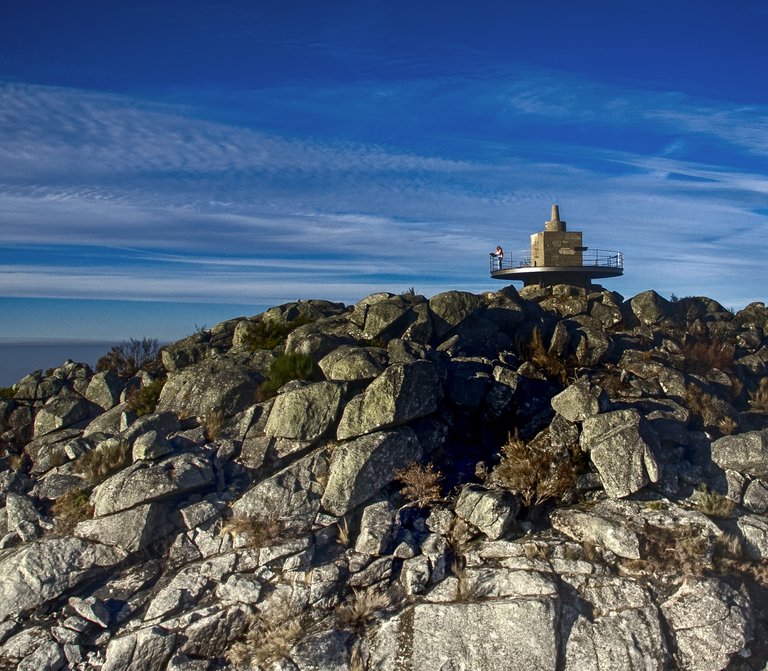
Giant’s Kettles in the Caima river


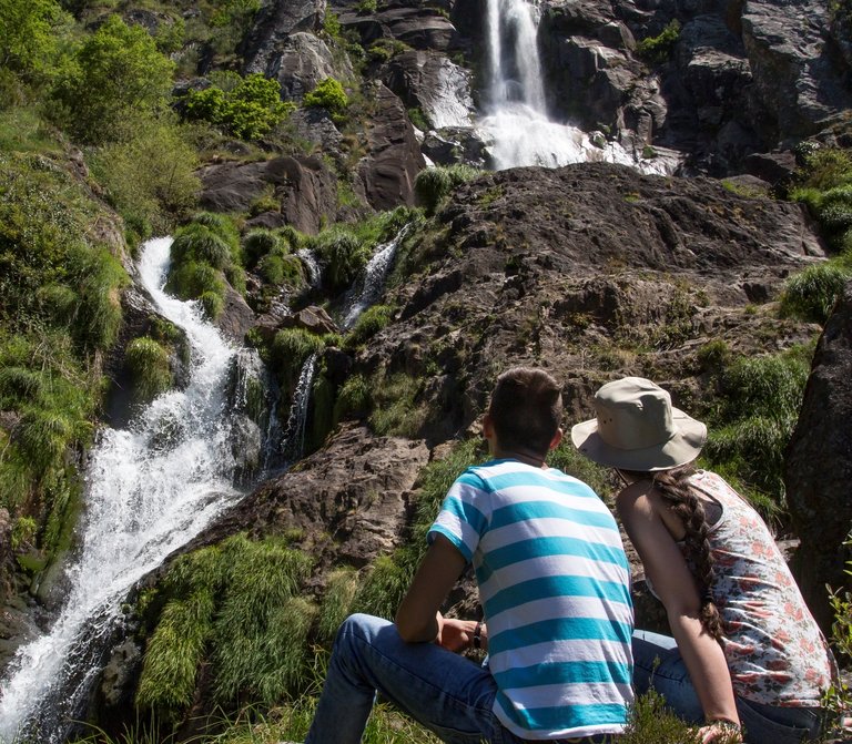
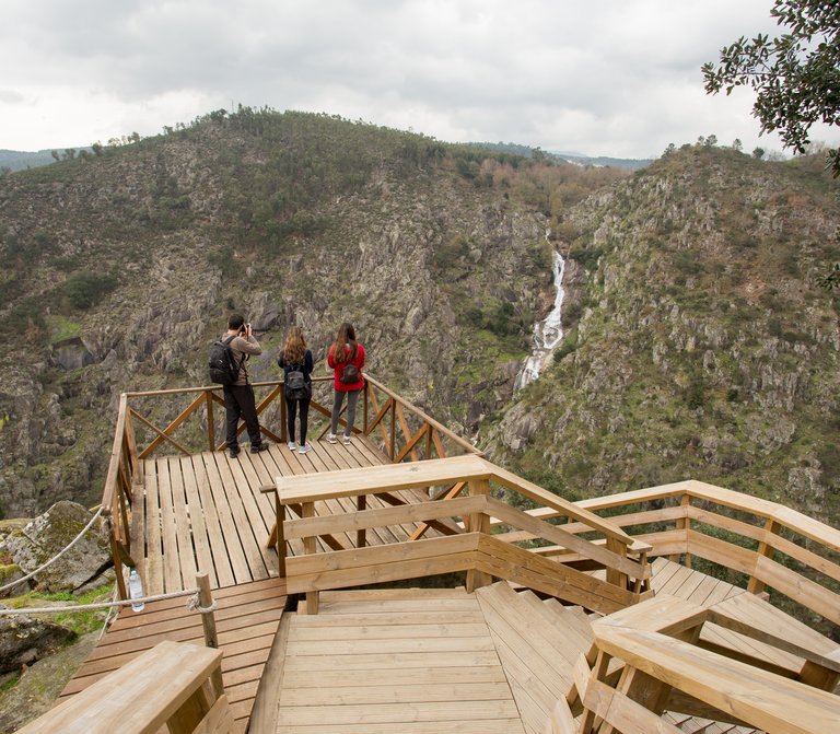
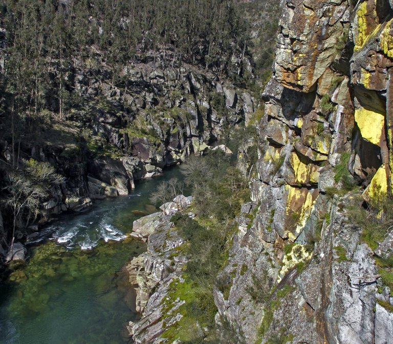
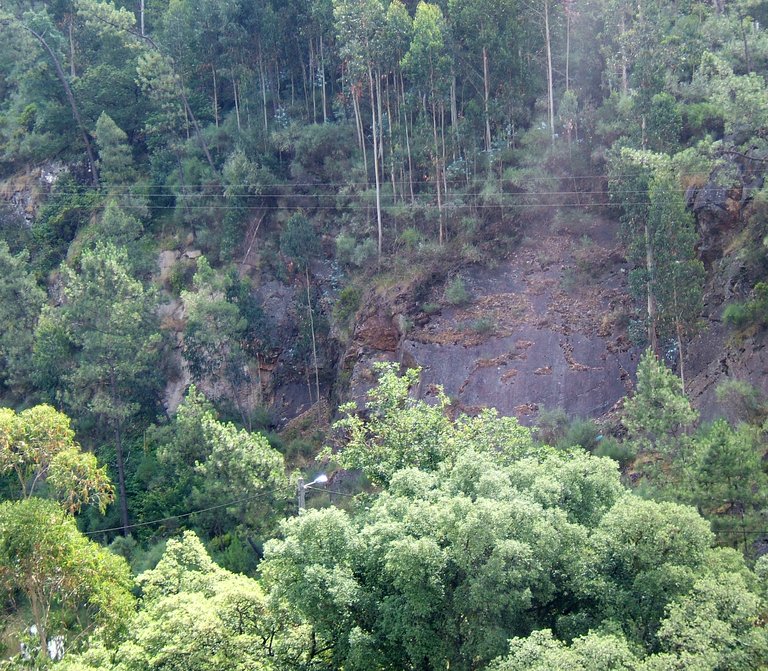
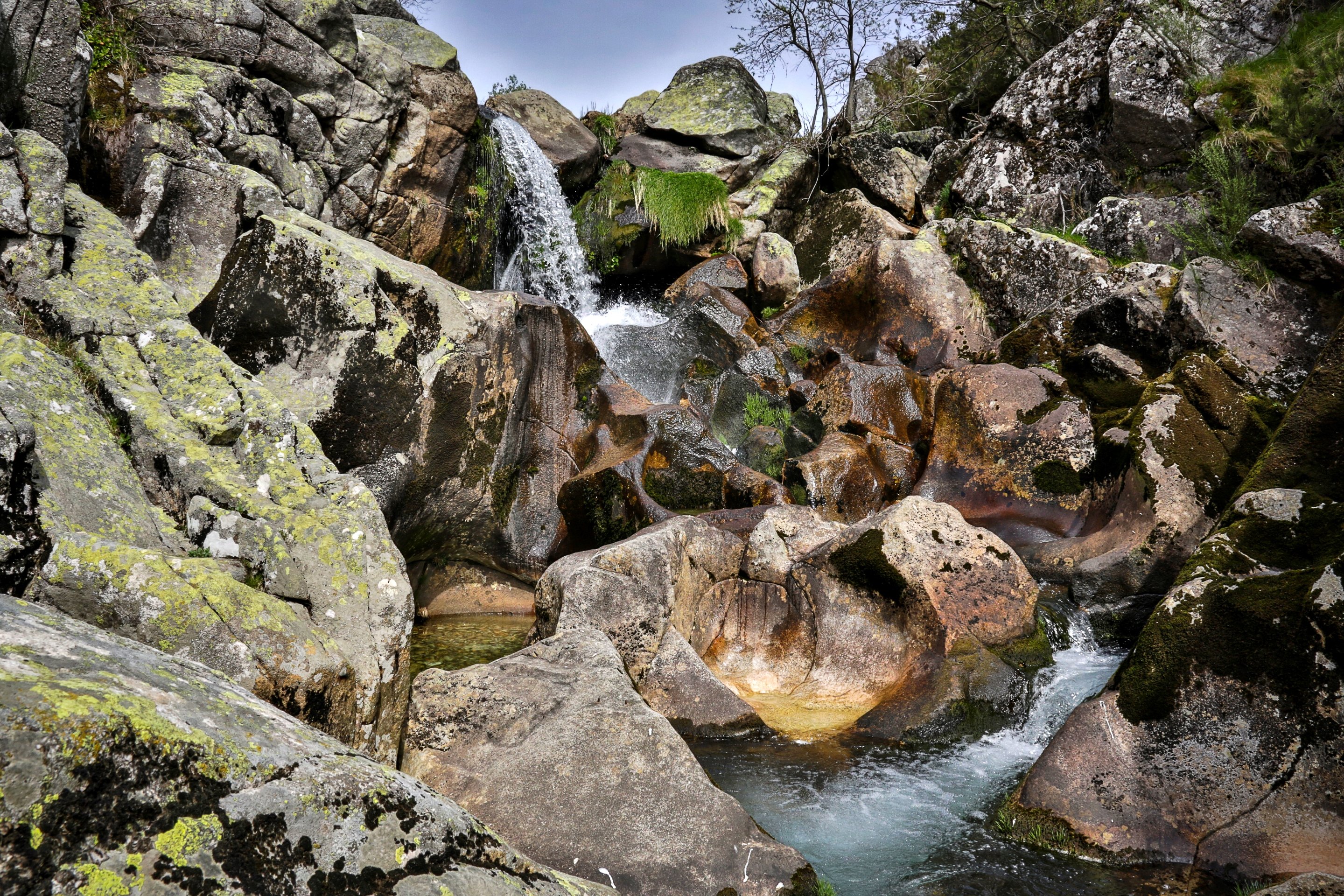
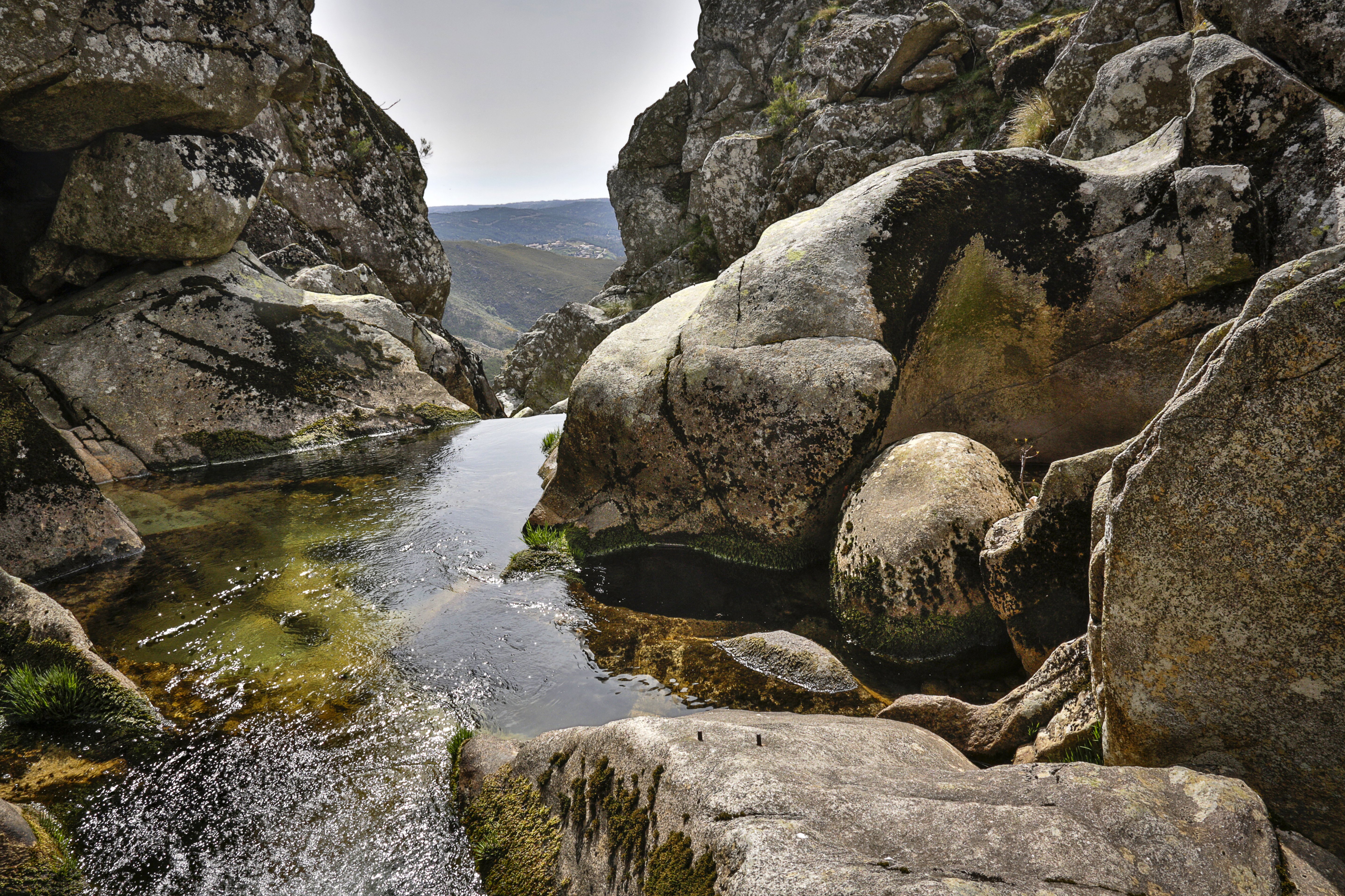
Where the water molds the stone

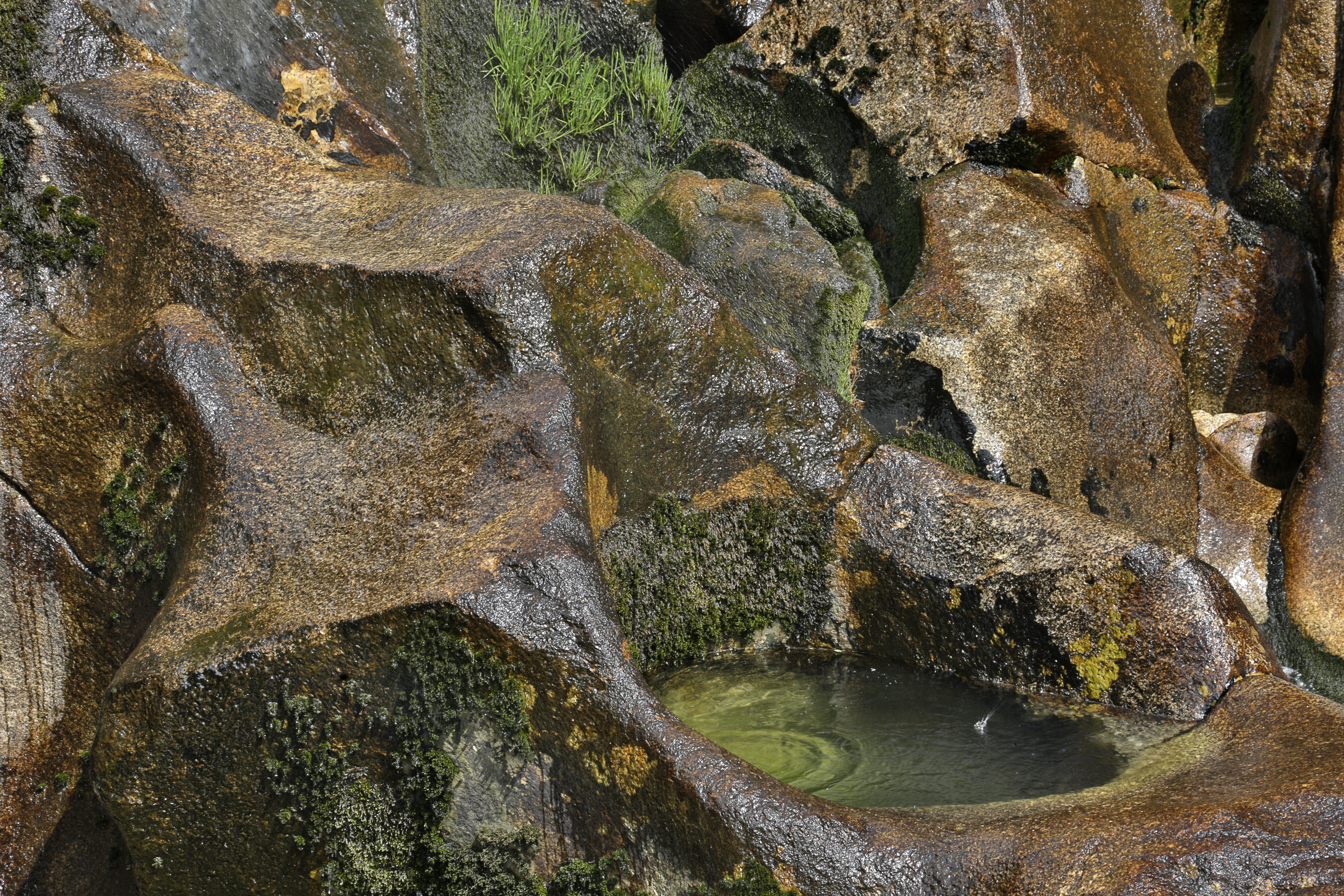
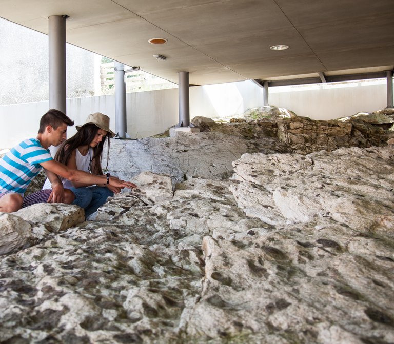
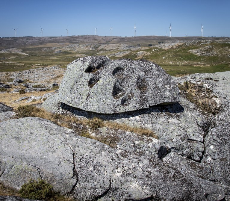
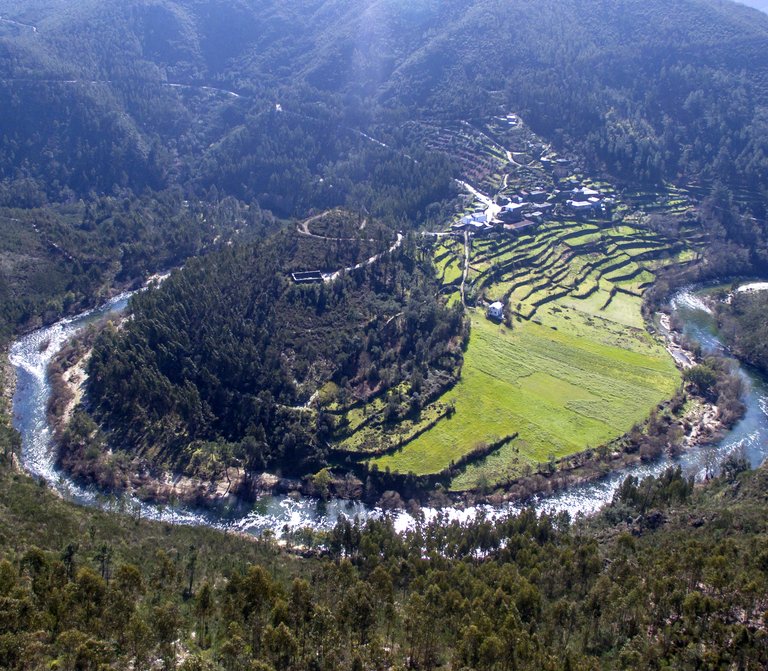
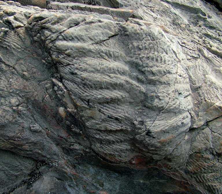
People say that “constant dropping wears away a stone”. This is what happens with the giant’s kettles, molded by the waters of the Caima river, which starts not too far from here. Near us arises the riverbed, narrow and with steep walls, fitted in the rocky substrate. The erosion and the transportation of sediments sometimes occur abruptly. The giant’s kettles are the result of this fluvial dynamics, depressions that are more or less round, drilled by the water in the granite of the Freita Mountain.

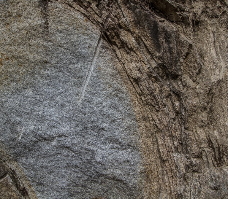
The kettles are originated from the irregularities of the rocky beds of the rivers. They retain some sediments in their surroundings. The accumulation of sediments is going to cause a whirlpool moment of the water, whose kinetic energy provides a circular movement. Little by little, due to the friction, the sediments dig a more or less circular hole in the Caima’s riverbed, and they are kept inside of them. As time goes by, the depressions get bigger and the flints that are inside become more and more spherical.

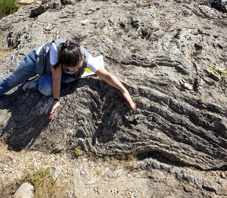
This depressions are always face up, and they can appear alone or in groups. Over time, the depressions get deeper and larger, and they can sometimes coalesce one with each other, forming progressively deeper channels – water drain channels.

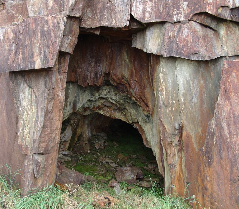
The giant’s kettles of the Caima river become bigger and bigger as we approach the Frecha da Mizarela. This is due to a slightly increase of the river’s slope, causing the increase of the speed water and a bigger erosive capacity and, as a consequence, there are bigger “kettles”.

Useful information

Mizarela - União de Freguesias de Albergaria da Serra e Cabreiros
891 m
40.863333 | -8.282583

Other geosites

_MG_9935.jpg
1

Panorâmica do Detrelo da Malhada

Explore
Côto do Boi
2

Côto do Boi

Explore
S. Pedro Velho
3

S. Pedro Velho

Explore
Contacto Litológico da Mizarela
5

Contacto Litológico da Mizarela

Explore
Frecha da Mizarela
6

Frecha da Mizarela

Explore
_MG_9717.jpg
7

Pedras Parideiras

Explore
Dobras da Castanheira
8

Campo de dobras da Castanheira

Explore
_MGL0623.jpg
9

Filão de Quartzo de Cabaços

Explore
Torre Meteorológica 8.jpg
10

Panorâmica da Costa da Castanheira

Explore
2600.jpg
11

Pedras Boroas do Junqueiro

Explore
_MGL0754.jpg
12

Pias do Serlei

Explore
Pedras Cebola 4.jpg
13

Quartzodiorito de Espinho (Pedras Cebola)

Explore
Viveiros Granja 4.jpg
14

Bolas Quartzodioríticas dos Viveiros da Granja (Pedras Cebola)

Explore
DSC06279.JPG
15

Minas da Pena Amarela

Explore
4.jpg
16

Minas de Rio de Frades

Explore
123.jpg
17

Icnofósseis de Mourinha

Explore
128.jpg
18

Livraria do Paiva

Explore
Conheiros de Janarde
19

Conheiros de Janarde

Explore
78.jpg
20

Meandros do Paiva

Explore
Icnofósseis da área de Meitriz
21

Icnofósseis de Meitriz

Explore
36.jpg
22

Minas de Regoufe

Explore
_MG_8381.jpg
23

Portal do Inferno e Garra

Explore
_MG_8240.jpg
24

Panorâmica da Senhora da Mó

Explore
PO-01811_p106e107.jpg
25

Coleção de Fósseis do Centro de Interpretação Geológica de Canelas

Explore
IMG_2616.jpg
26

Glaciação ordovícica

Explore
IMG_2581.jpg
27

Afloramento do Silúrico inferior

Explore
IMG_2653.jpg
28

Conglomerado do Carbónico

Explore
96.jpg
29

Gralheira d'Água

Explore
Praia fluvial do Vau
30

Vau

Explore
IMG_5537.jpg
31

Gola do Salto

Explore
Aspectos geotectónicos de Espiunca
32

Falha da Espiunca

Explore
Icnofósseis da área de Vila Cova
33

Icnofósseis de Vila Cova

Explore
Icnofósseis da área de Vilarinho
34

Icnofósseis de Vilarinho

Explore
arouca_0206-27-2.jpg
35

Cascata das Aguieiras

Explore
2.jpg
36

Garganta do Paiva

Explore
15.jpg
37

Icnofósseis de Cabanas Longas

Explore
pag122e123_1_Avelino.jpg
38

Mira Paiva

Explore
Marco geodésico da Pedra Posta
39

Pedra Posta

Explore
PedraMa2.jpg
40

Pedra Má

Explore
Panorâmica da marco geodésico de Sobreiros
41

Panorâmica de Sobreiros

Explore