Locality
 Elevation


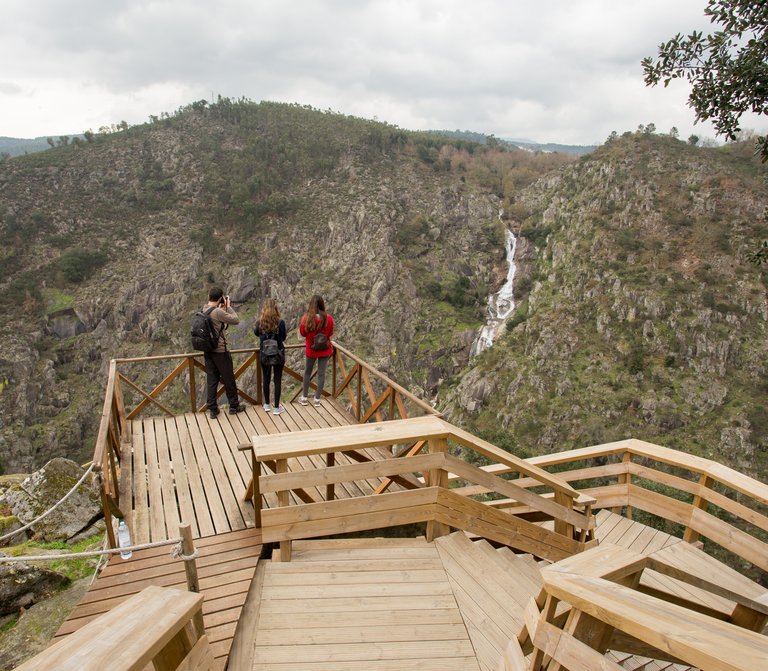
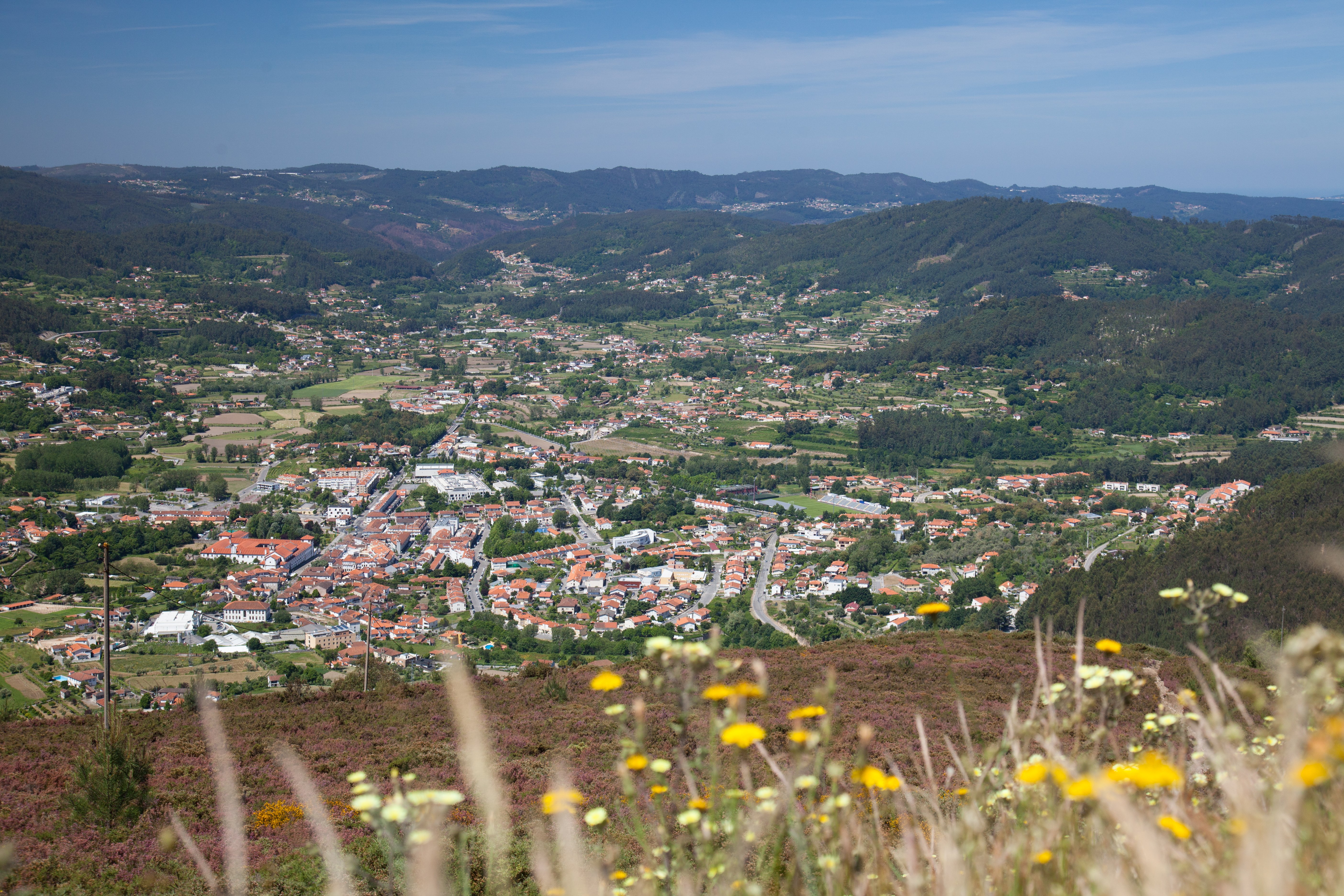
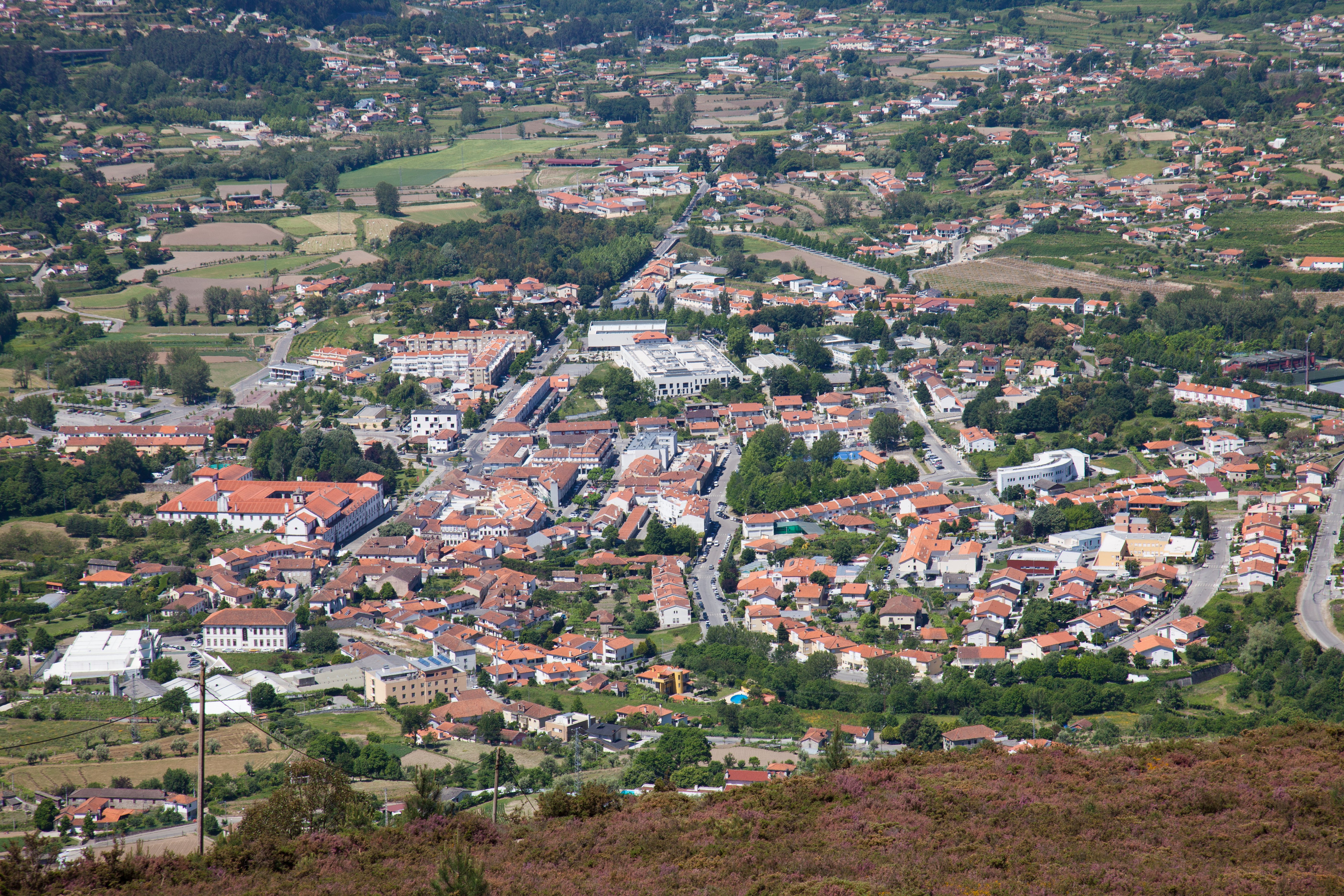
The splendor of the Arouca Valley
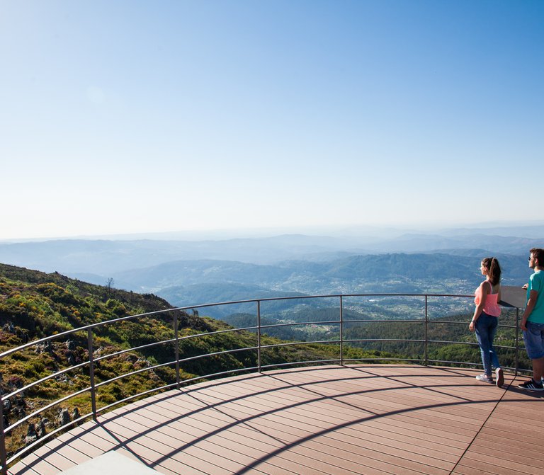
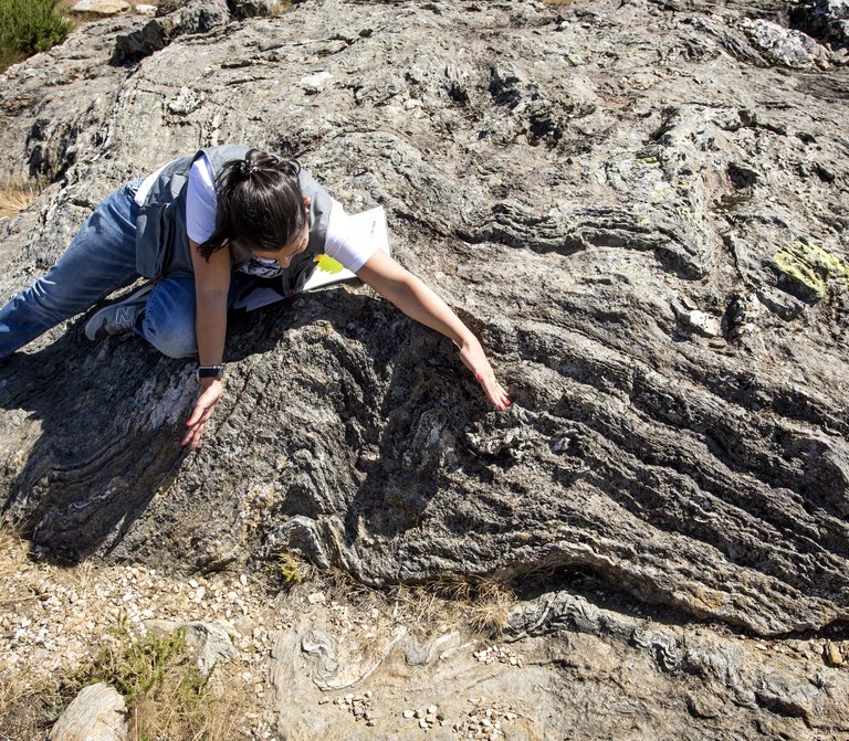
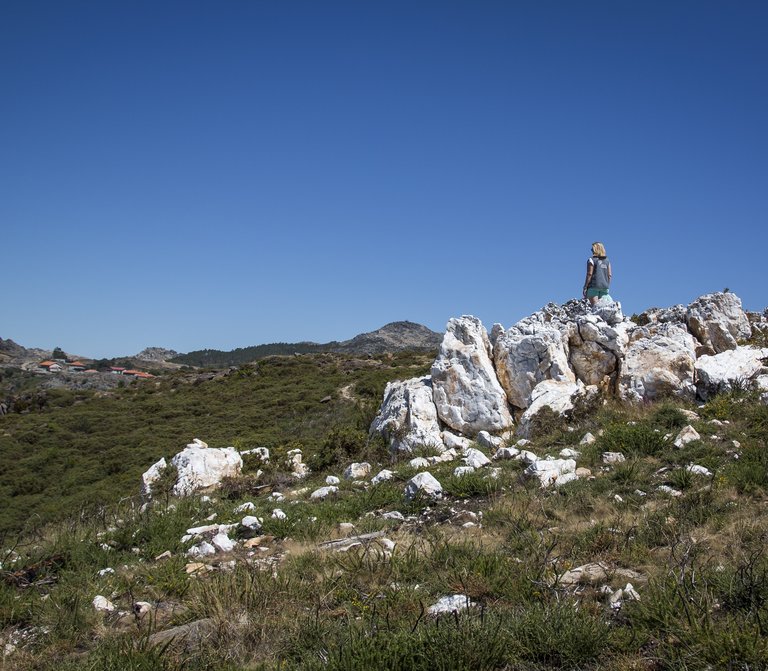
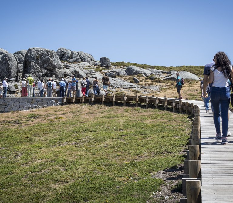
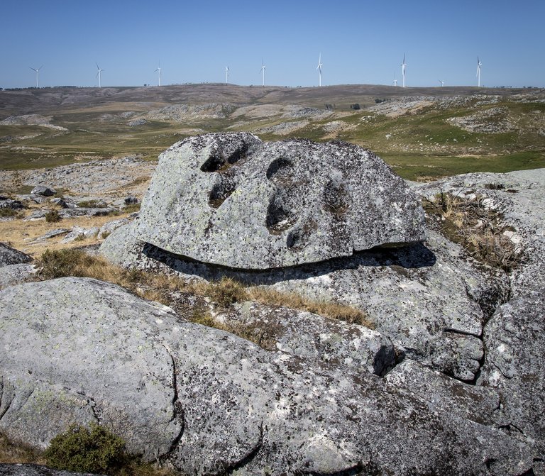
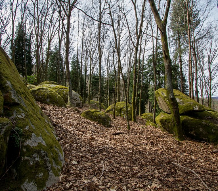
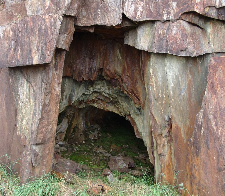
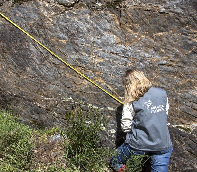
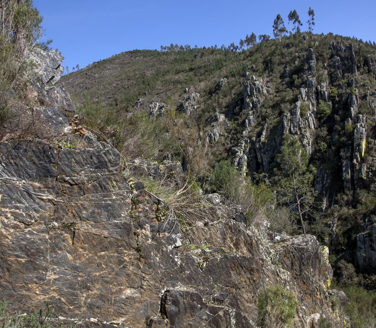
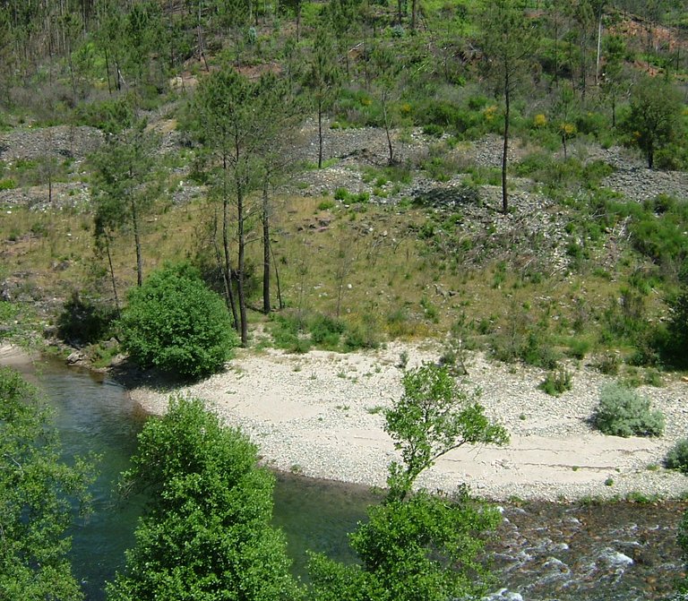
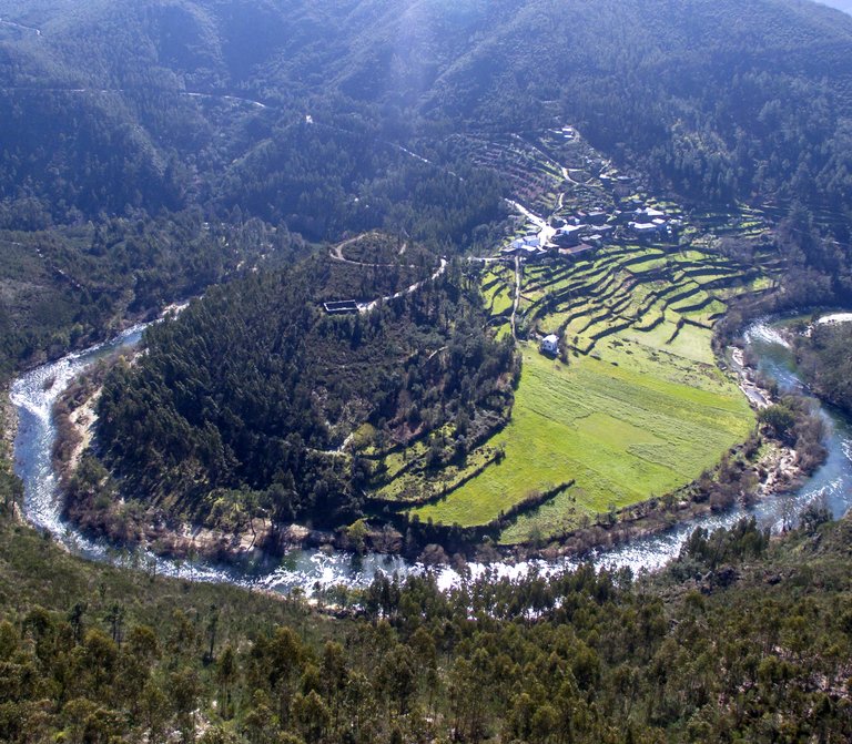
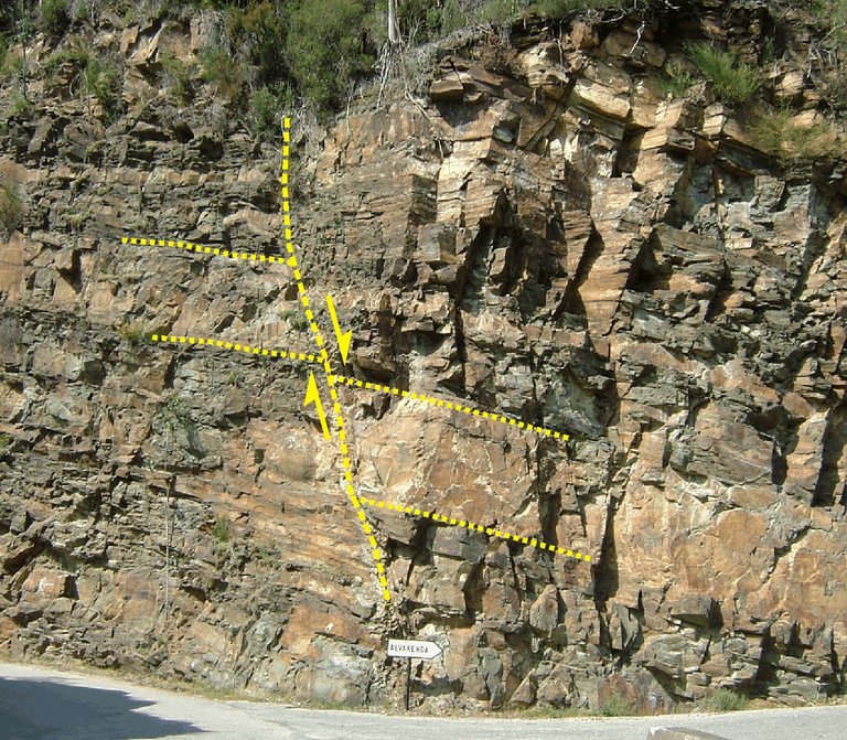
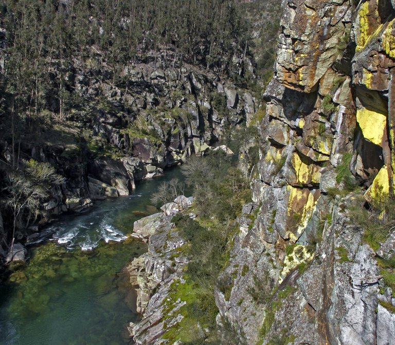
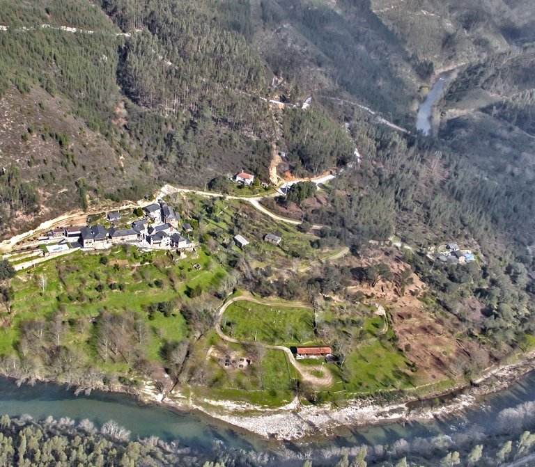
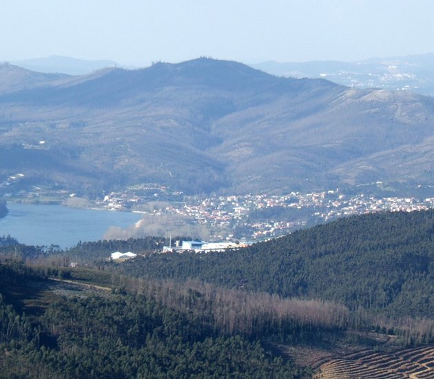
The Senhora da Mó panoramic geosite is one of the viewpoints of the Arouca Geopark, located high above the Arouca town. It has a central position relative to the Arouca town, and it is possible to observe the generic geomorphology of the entire territory through the surroundings of the Senhora da Mó chapel. One of the highlighting points is the alveolus of Arouca that occupies a great extension of the batholith surface (quartzdiorite of Arouca). Its petrographic characteristics are sensitive to the changing and presents lines of tectonic fragility, and the main line presents an E-W direction. The alveolus of Arouca is drained by the Arda river, which is a tributary of the Douro river and it is surrounded by the Freita Mountain, at south, and the Gamarão mountains, at north. Downstream, by contact with the batholith with the early Ordovician metasediments, occurs the corneal locally known as “Pedra Má”, and its hardness and little deterioration have caused a bigger effectiveness of the sediment retention process in the alveolus of Arouca. These sediments resulting from the recent erosion (Pleistocene < 2 Ma) of the mountains and valleys were used throughout history as fertile agricultural land of the Arouca Monastery and the communities of the region.
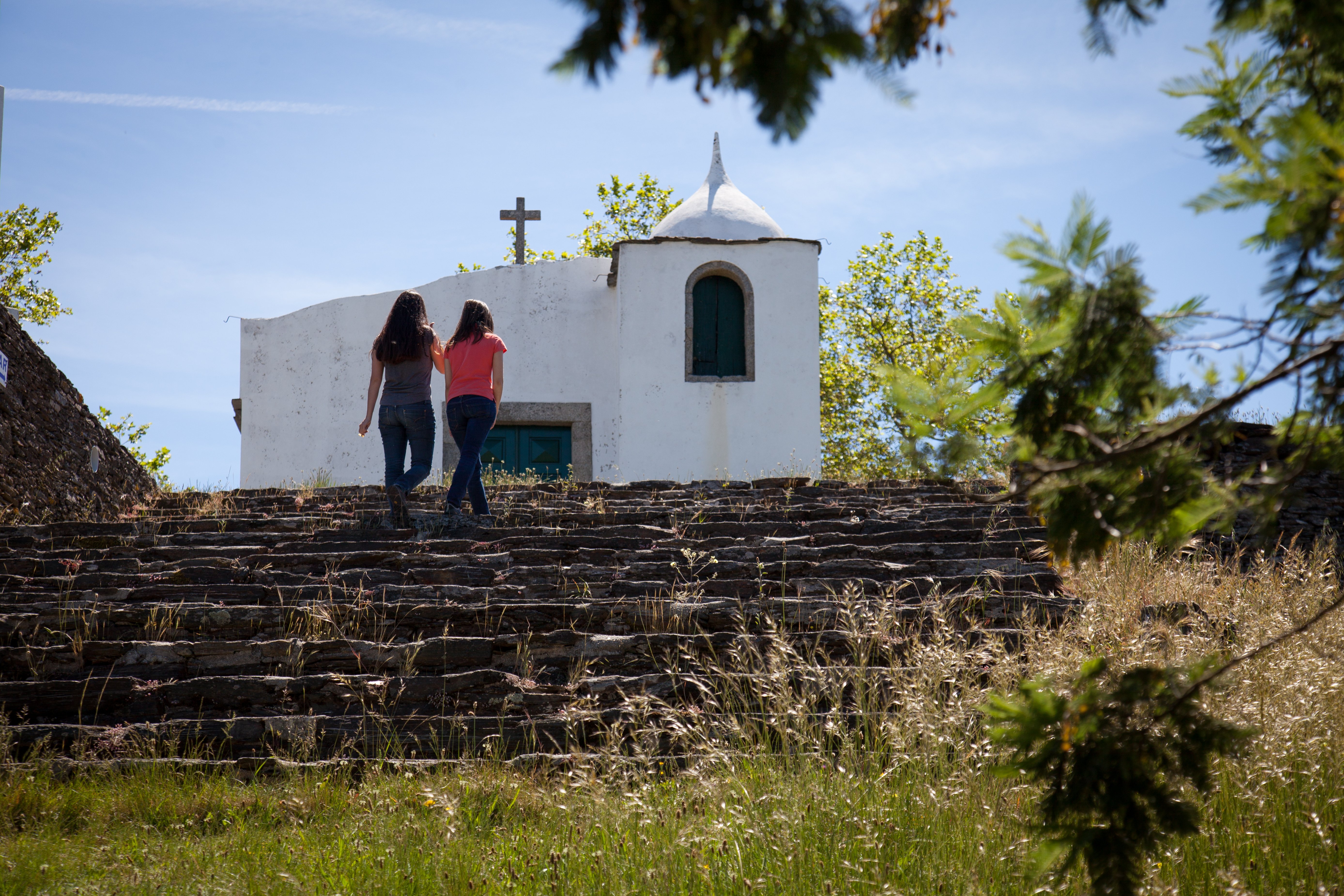
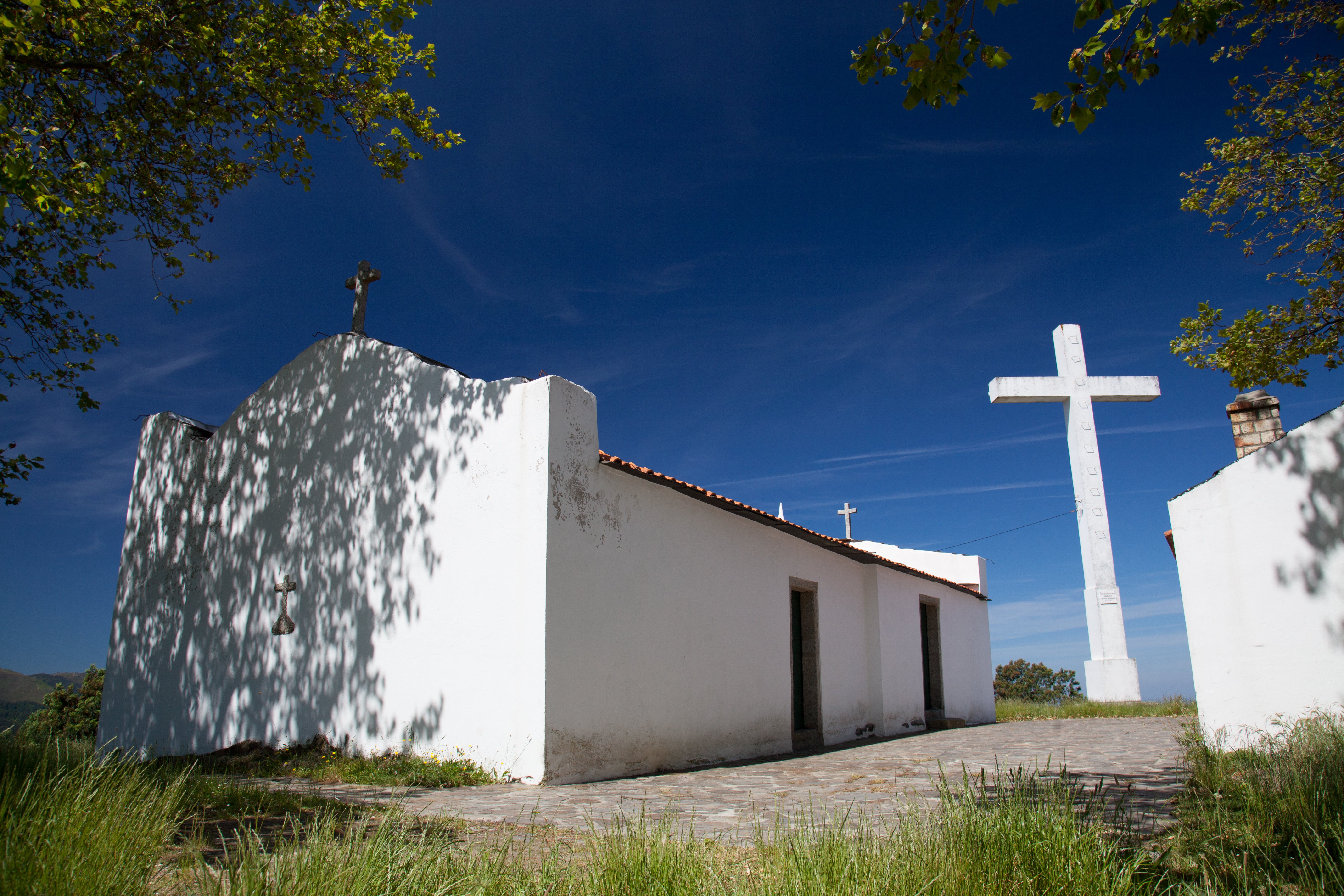
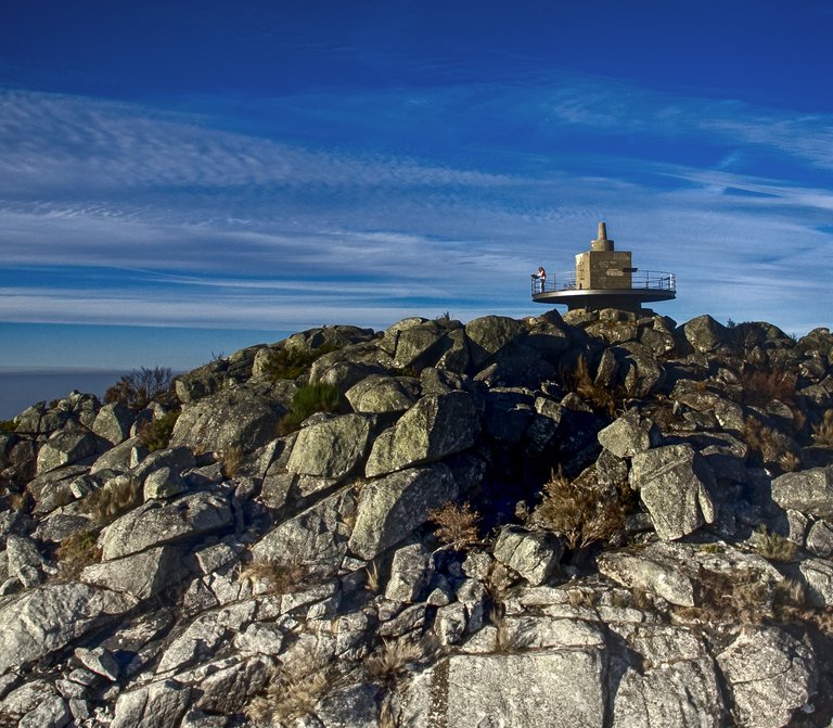
The Senhora da Mó hill is also a place for religious worship. In its highest point, there’s a chapel built in honor of Nossa Senhora da Mó, which has very peculiar outlines, and it is presumed to be from the 16th century. The celebration in honor of this saint, considered in Arouca as the lawyer of the fields, the crops and the animals, and protective against the droughts and the thunderstorms, happens every year in September 7 and 8. On the 7th of September, people get together in the “Casa da Ceia” (Dinner house), next to the chapel, to eat the traditional dish, codfish.
It is said that Nossa Senhora da Mó “has six sisters”, as from its chapel it is possible to see this number of hermitages of reference to Mary, located in the surrounding hills: Senhora do Monte, Senhora da Laje, Senhora das Amoras, Senhora do Castelo, Senhora da Guia e Santa Maria do Monte.