Folds of Castanheira


Twisting without breaking

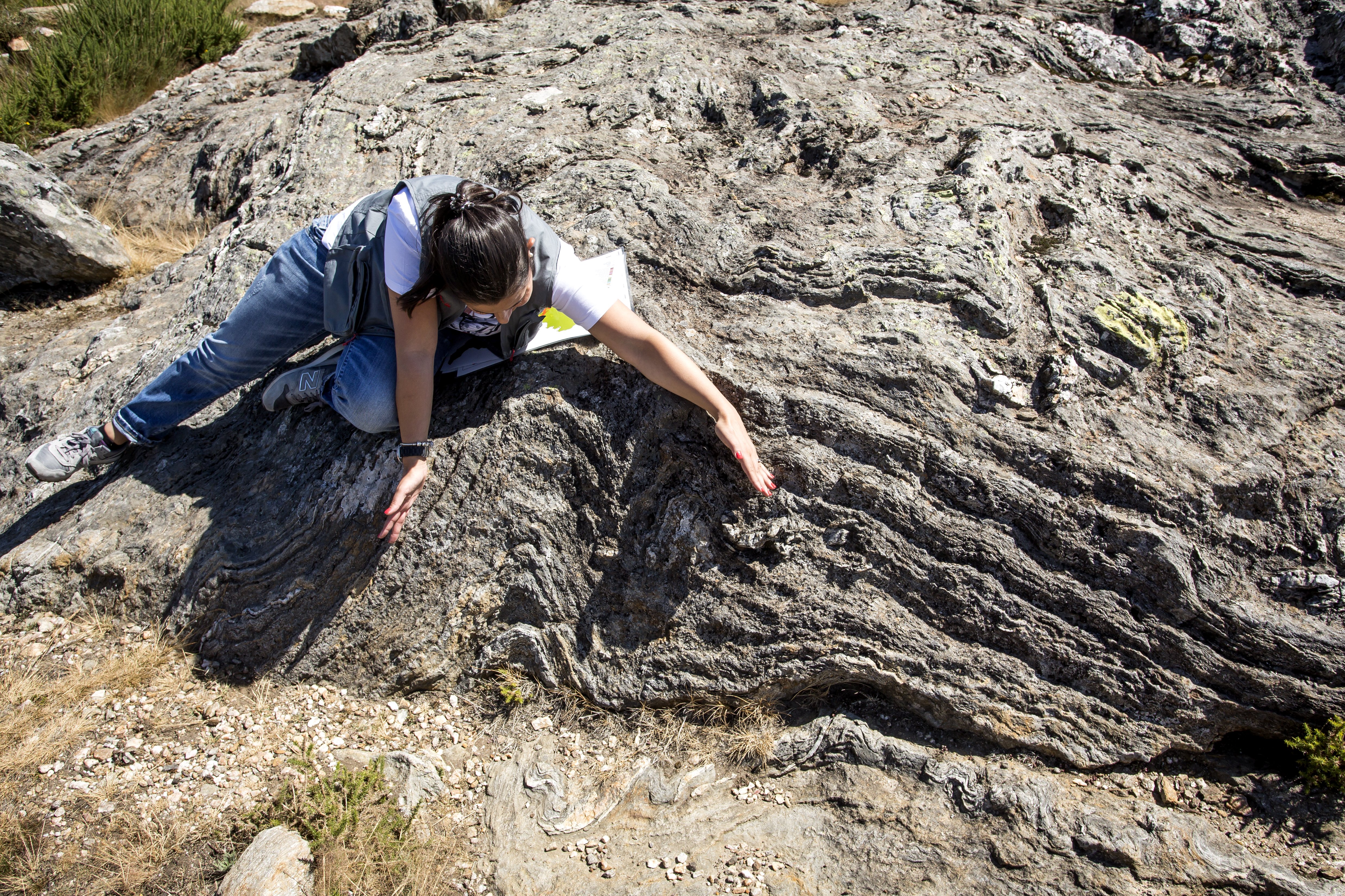
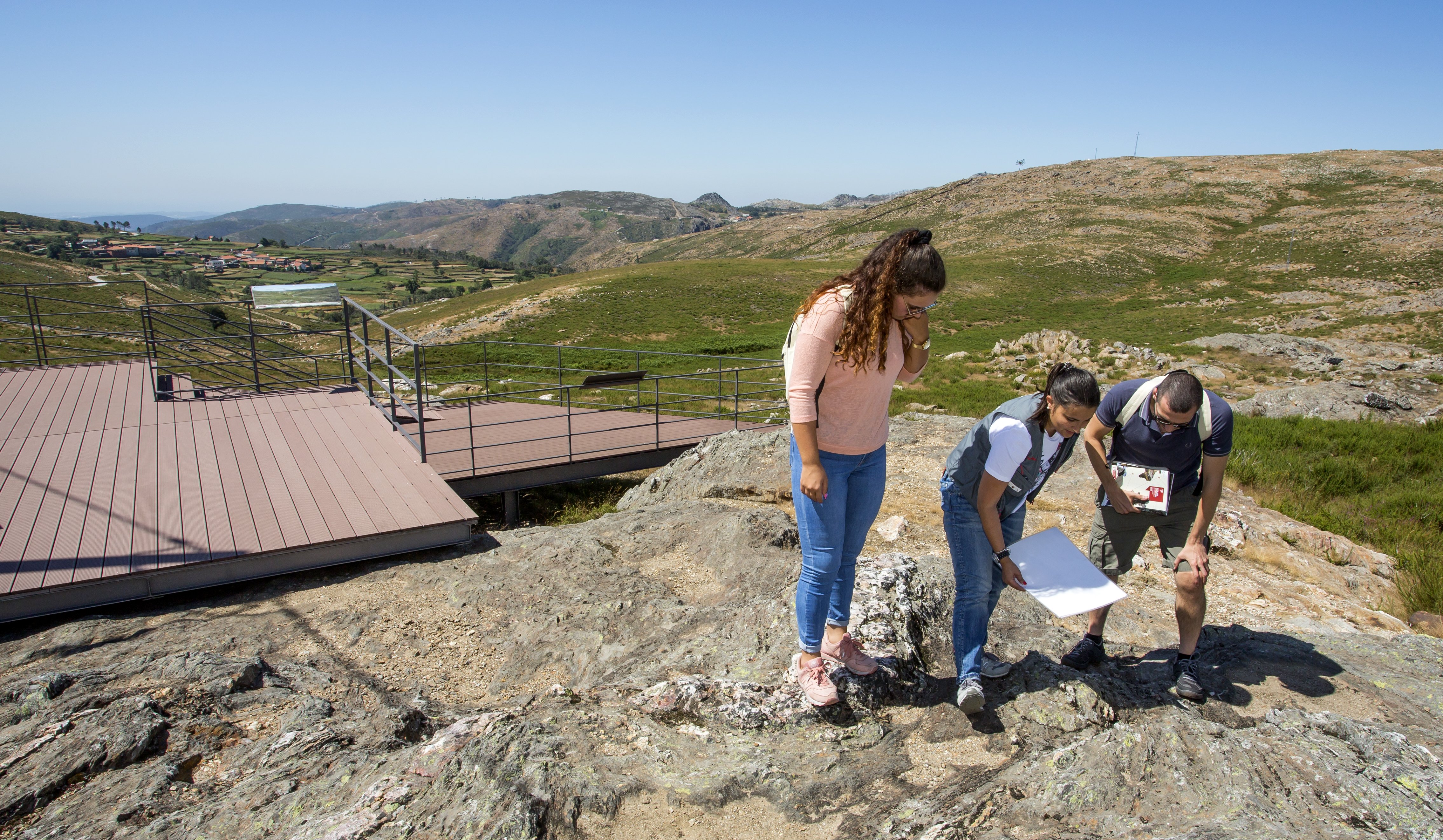
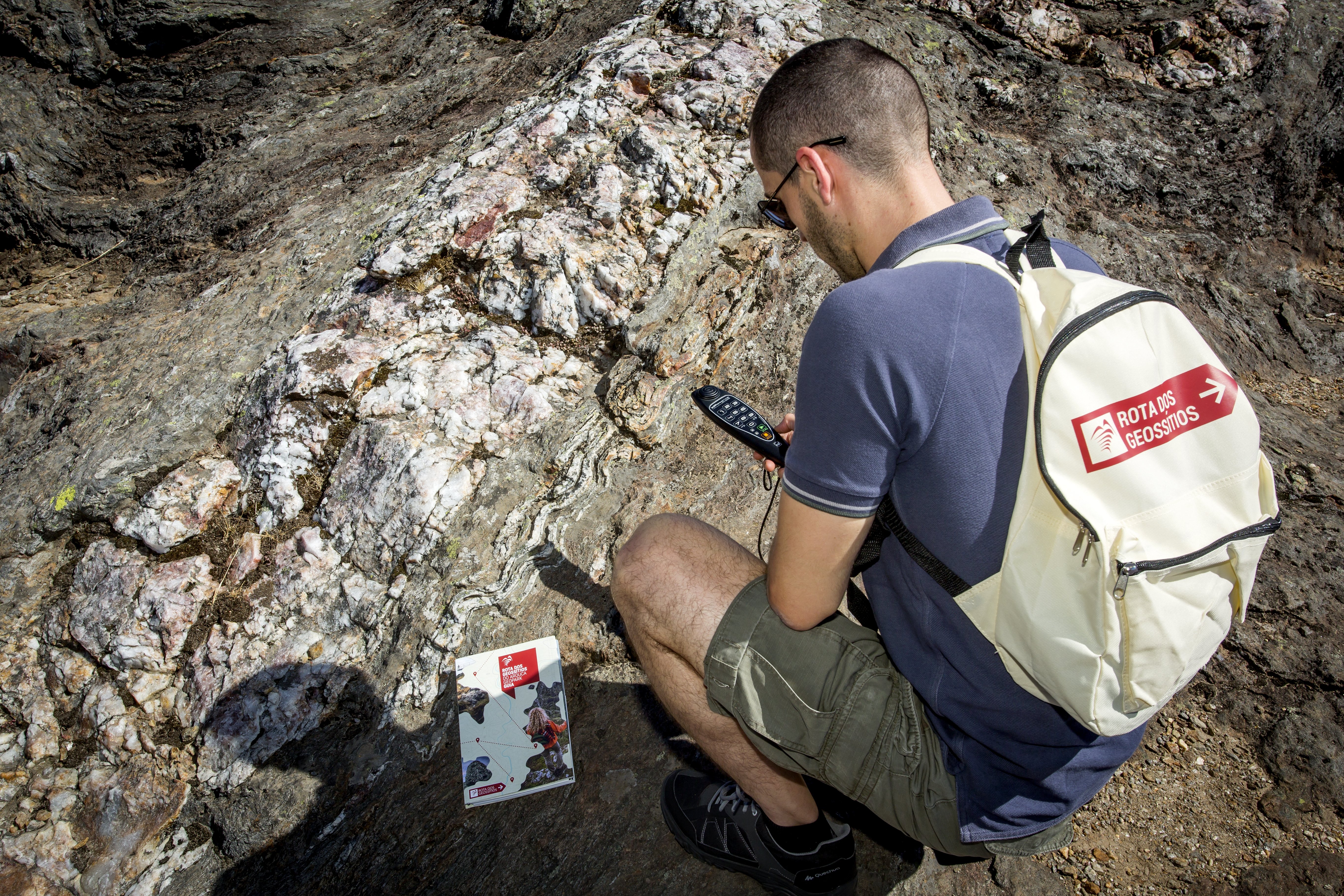
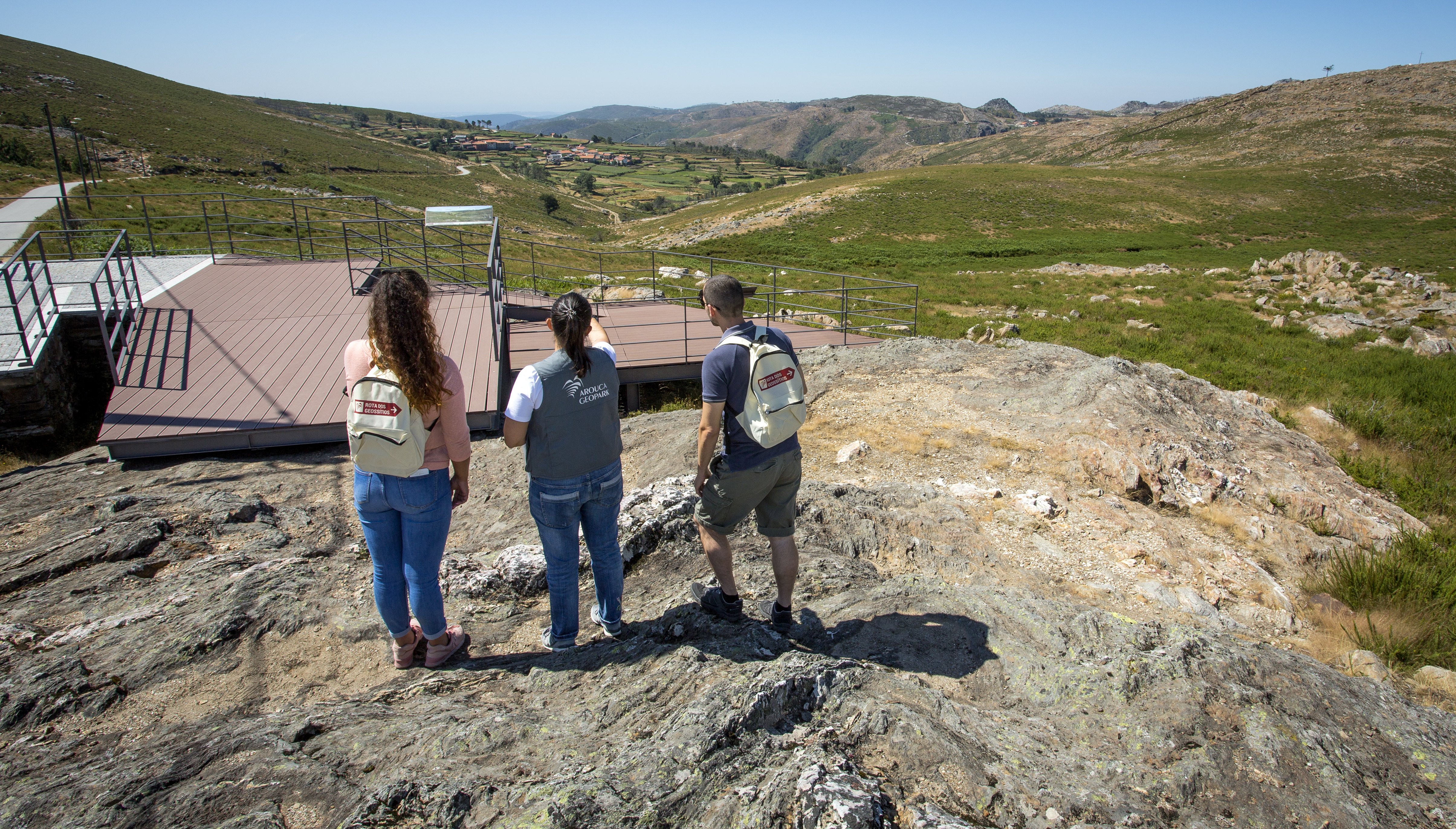
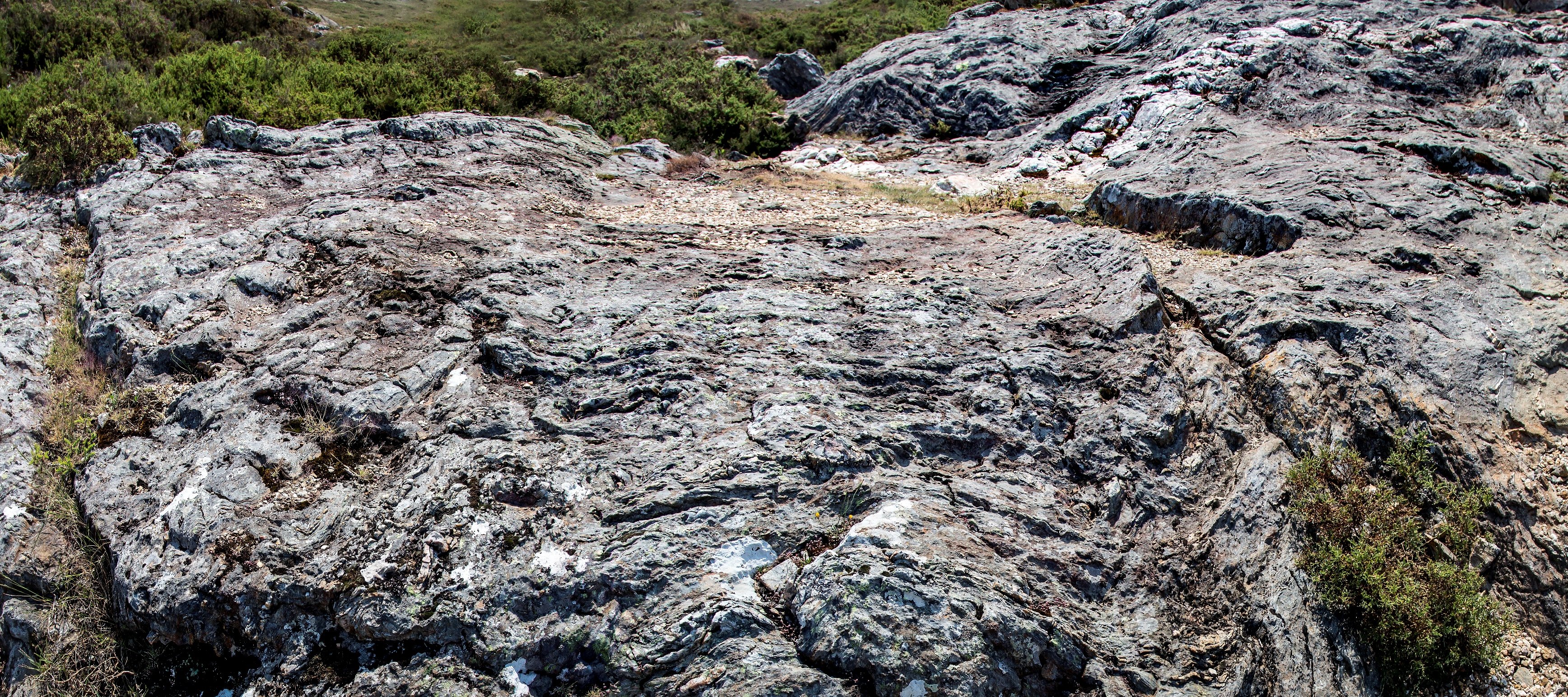
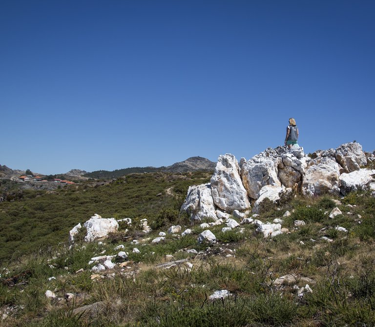
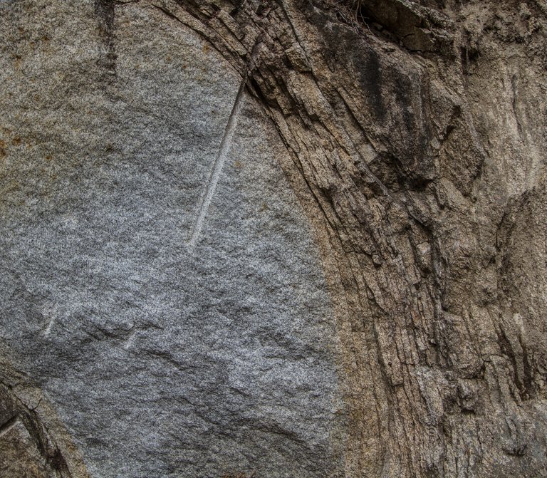
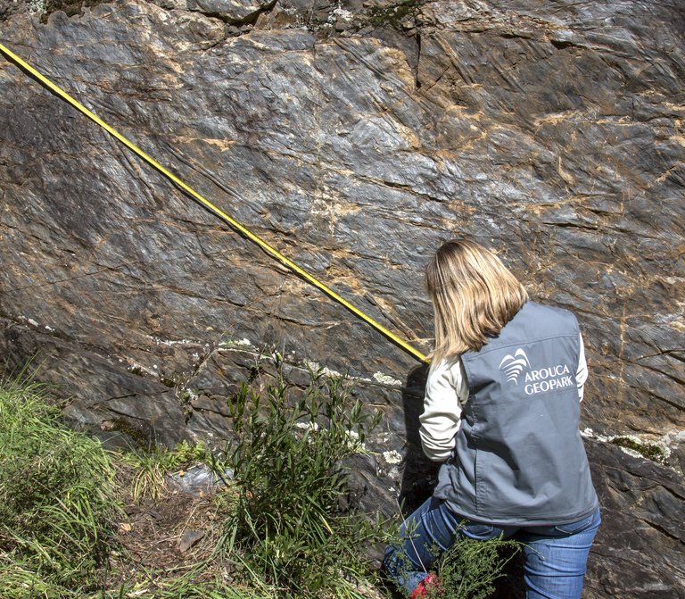
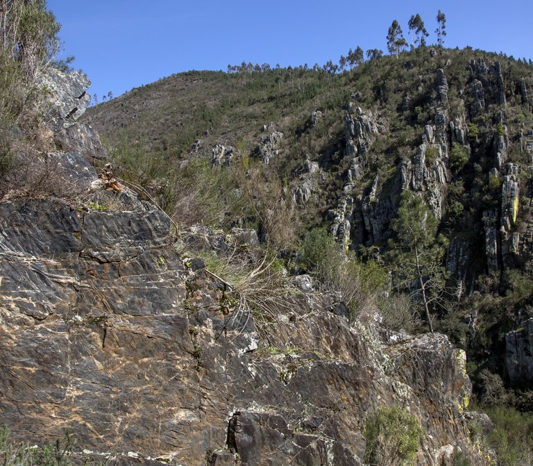
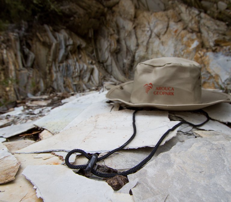
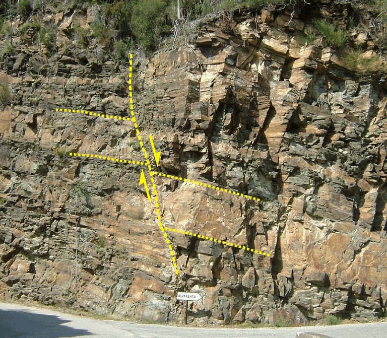
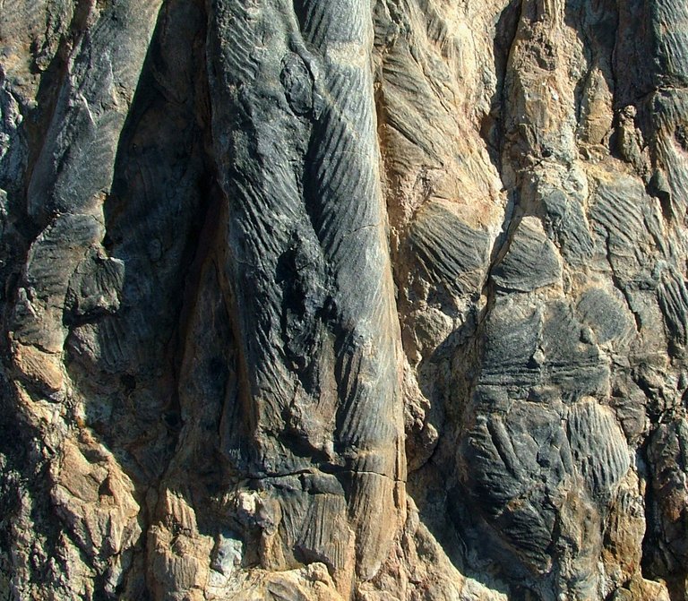
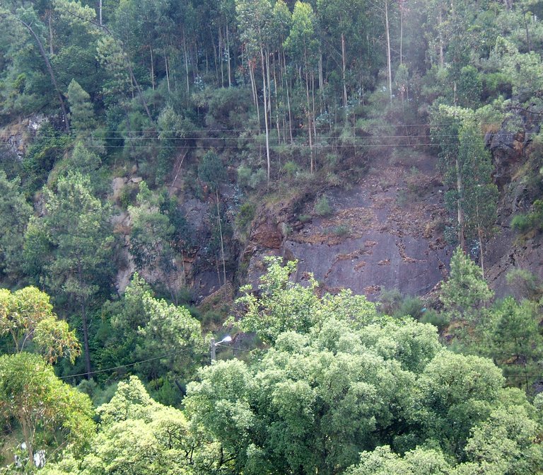
The area situated at southeast of “Pedras Parideiras” has particular interest because it is highly bent. The “bends” are deformations on the rocks, where it is possible to observe the bending of surfaces originally flat. Actually, the rocks of this geosite were formed for more than 500 million years in the deep basins of an old sea, where alternate layers of sediments were horizontally deposited and which, by diagenesis and metamorphism, originated the schist and metagraywacke rocks. In this region, it also occurs several veins of quartz, whose bright color and high resistance to weathering facilitates the perception of the bends. The compression movements felt about 350 million years ago have caused an increase of the pressure and temperature, making the rocks more ductile, and thus forming bends of different amplitude.

The relevance of this geosite is even bigger due to the fact that the bends and foliations present in these materials underline a multiphase orogenic evolution. The last generation of bends was assigned to the third phase of the Variscan deformation, although one of the outcrops has a bend assigned to the second phase. The bends of the third phase have a NW-SE axial plan with steep slopes, usually higher than 65° to SW and NE. The axis of the bends tilts between 10º and 20º systematically to SE.

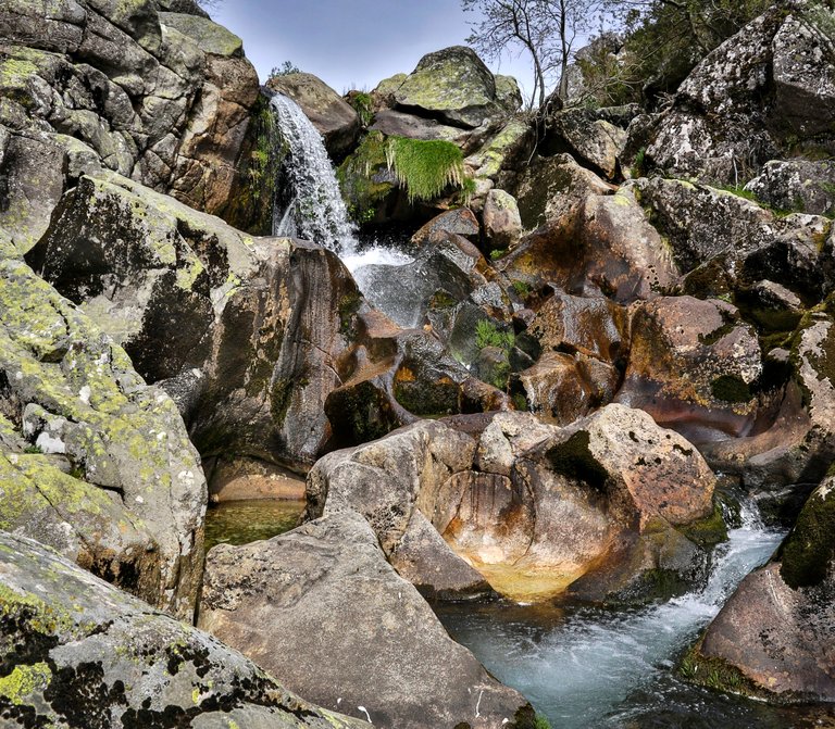
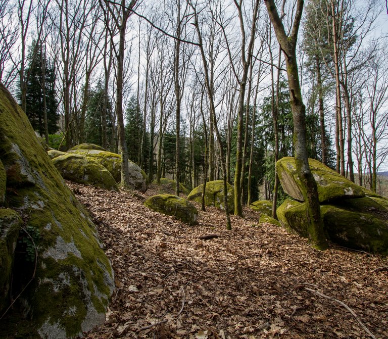
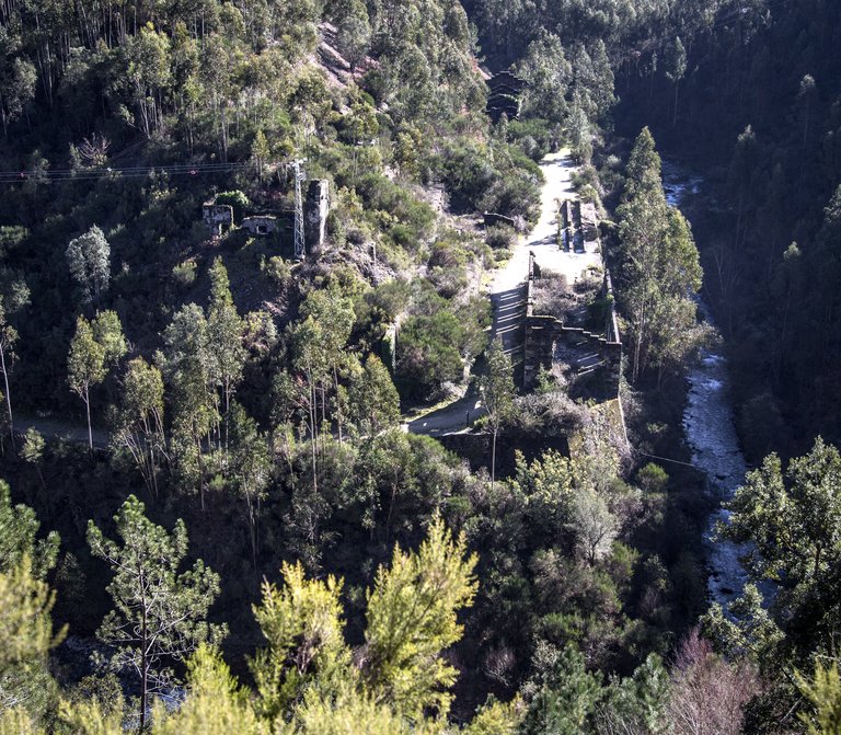
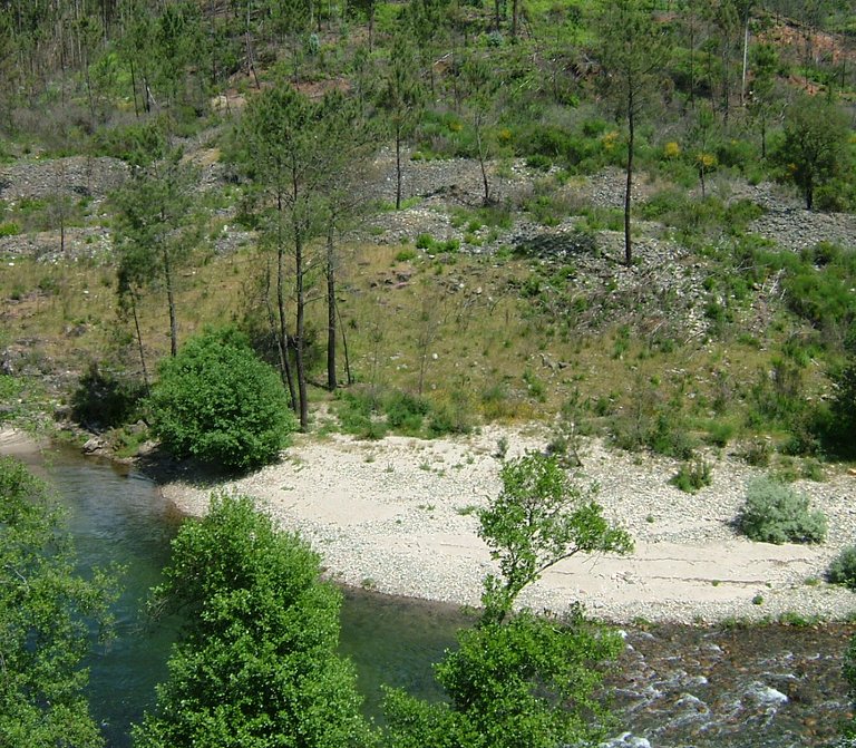
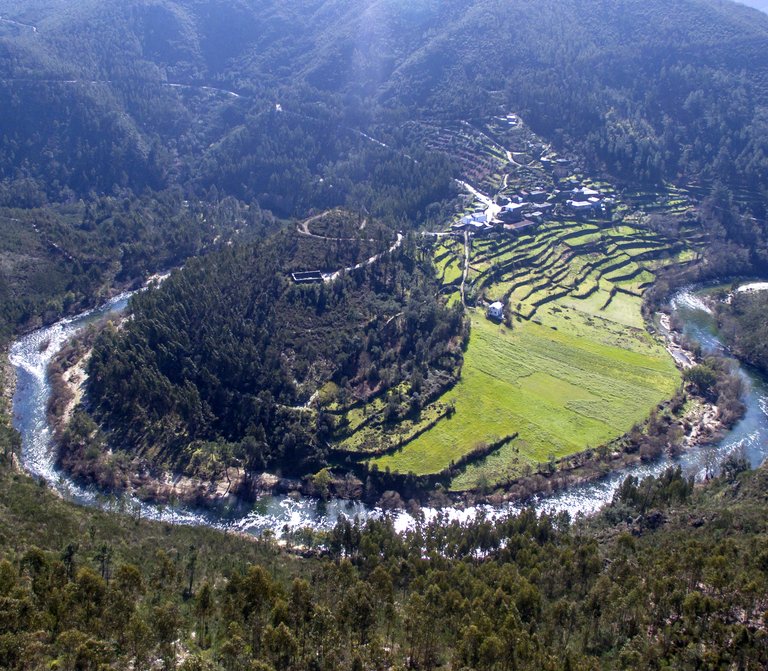
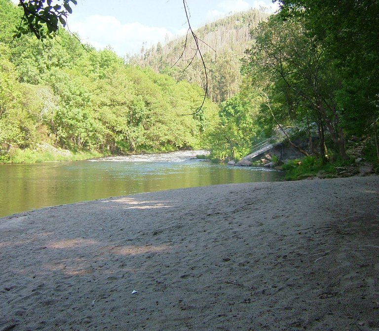
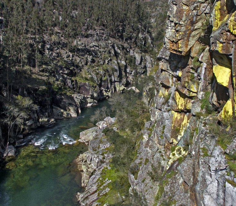
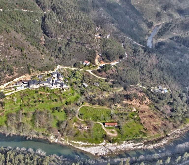
The Castanheira bends field is drained by the Castanheira stream, a tributary of the Caima river. This water line serves as the shelter for several species, like the bryophytes (primarily the Sphagnum species) and vascular plants, like the cervum (Nardus stricta). In the rocky areas, there is the Sedum brevifolium or the late crocus Iberian endemism (Crocus serotinus). The birds of prey, like the montagu’s harrier (Circus pygargus), the common kestrel (Falco tinnunculus) or the Eurasian sparrowhawk (Accipiter nisus) fly over this place.

Useful information

Castanheira, União de Freguesias de Albergaria da Serra e Cabreiros
976 m
40.846986 | -8.271967

Other geosites

_MG_9935.jpg
1

Panorâmica do Detrelo da Malhada

Explore
Côto do Boi
2

Côto do Boi

Explore
S. Pedro Velho
3

S. Pedro Velho

Explore
Marmitas de gigante
4

Marmitas de Gigante do Caima

Explore
Contacto Litológico da Mizarela
5

Contacto Litológico da Mizarela

Explore
Frecha da Mizarela
6

Frecha da Mizarela

Explore
_MG_9717.jpg
7

Pedras Parideiras

Explore
_MGL0623.jpg
9

Filão de Quartzo de Cabaços

Explore
Torre Meteorológica 8.jpg
10

Panorâmica da Costa da Castanheira

Explore
2600.jpg
11

Pedras Boroas do Junqueiro

Explore
_MGL0754.jpg
12

Pias do Serlei

Explore
Pedras Cebola 4.jpg
13

Quartzodiorito de Espinho (Pedras Cebola)

Explore
Viveiros Granja 4.jpg
14

Bolas Quartzodioríticas dos Viveiros da Granja (Pedras Cebola)

Explore
DSC06279.JPG
15

Minas da Pena Amarela

Explore
4.jpg
16

Minas de Rio de Frades

Explore
123.jpg
17

Icnofósseis de Mourinha

Explore
128.jpg
18

Livraria do Paiva

Explore
Conheiros de Janarde
19

Conheiros de Janarde

Explore
78.jpg
20

Meandros do Paiva

Explore
Icnofósseis da área de Meitriz
21

Icnofósseis de Meitriz

Explore
36.jpg
22

Minas de Regoufe

Explore
_MG_8381.jpg
23

Portal do Inferno e Garra

Explore
_MG_8240.jpg
24

Panorâmica da Senhora da Mó

Explore
PO-01811_p106e107.jpg
25

Coleção de Fósseis do Centro de Interpretação Geológica de Canelas

Explore
IMG_2616.jpg
26

Glaciação ordovícica

Explore
IMG_2581.jpg
27

Afloramento do Silúrico inferior

Explore
IMG_2653.jpg
28

Conglomerado do Carbónico

Explore
96.jpg
29

Gralheira d'Água

Explore
Praia fluvial do Vau
30

Vau

Explore
IMG_5537.jpg
31

Gola do Salto

Explore
Aspectos geotectónicos de Espiunca
32

Falha da Espiunca

Explore
Icnofósseis da área de Vila Cova
33

Icnofósseis de Vila Cova

Explore
Icnofósseis da área de Vilarinho
34

Icnofósseis de Vilarinho

Explore
arouca_0206-27-2.jpg
35

Cascata das Aguieiras

Explore
2.jpg
36

Garganta do Paiva

Explore
15.jpg
37

Icnofósseis de Cabanas Longas

Explore
pag122e123_1_Avelino.jpg
38

Mira Paiva

Explore
Marco geodésico da Pedra Posta
39

Pedra Posta

Explore
PedraMa2.jpg
40

Pedra Má

Explore
Panorâmica da marco geodésico de Sobreiros
41

Panorâmica de Sobreiros

Explore